
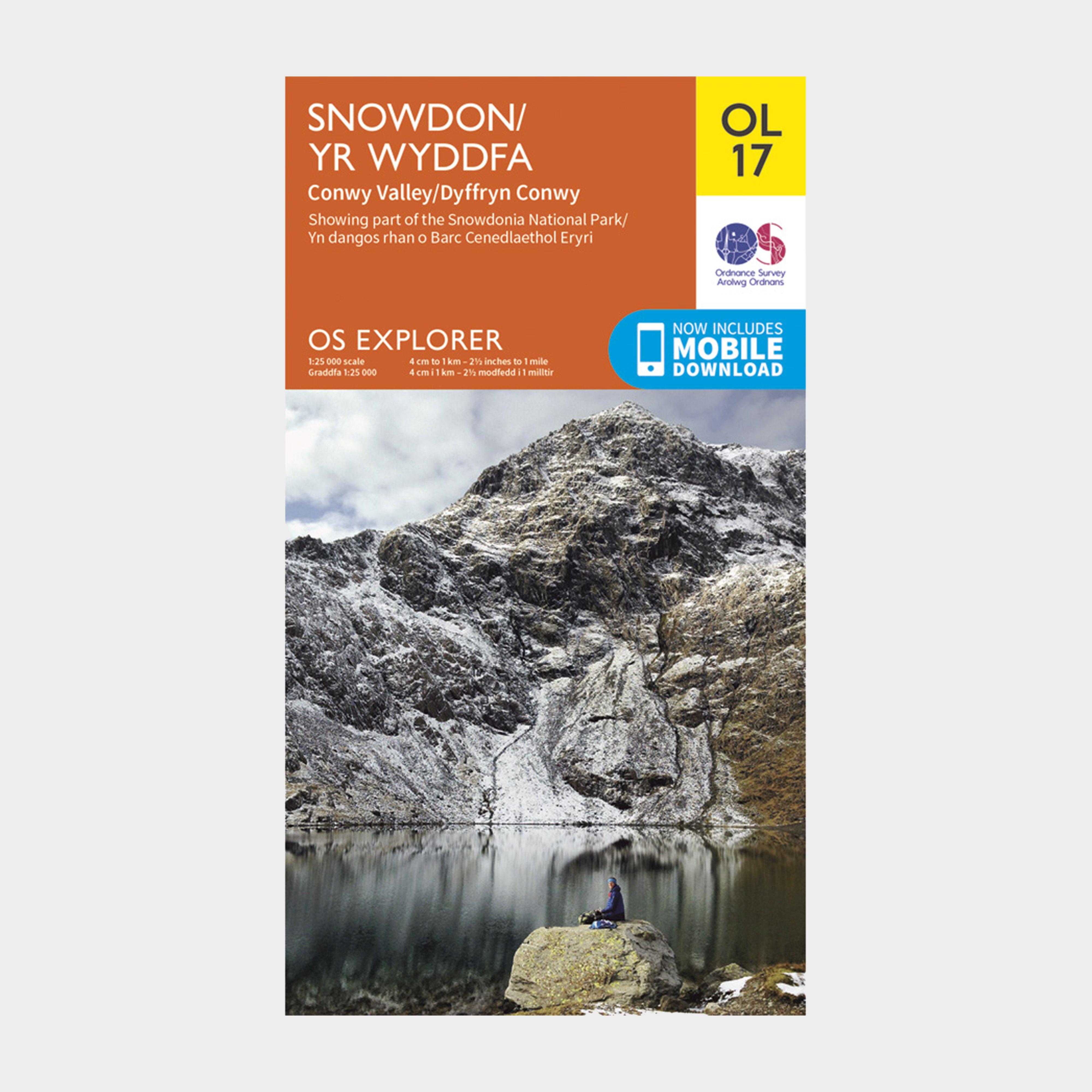
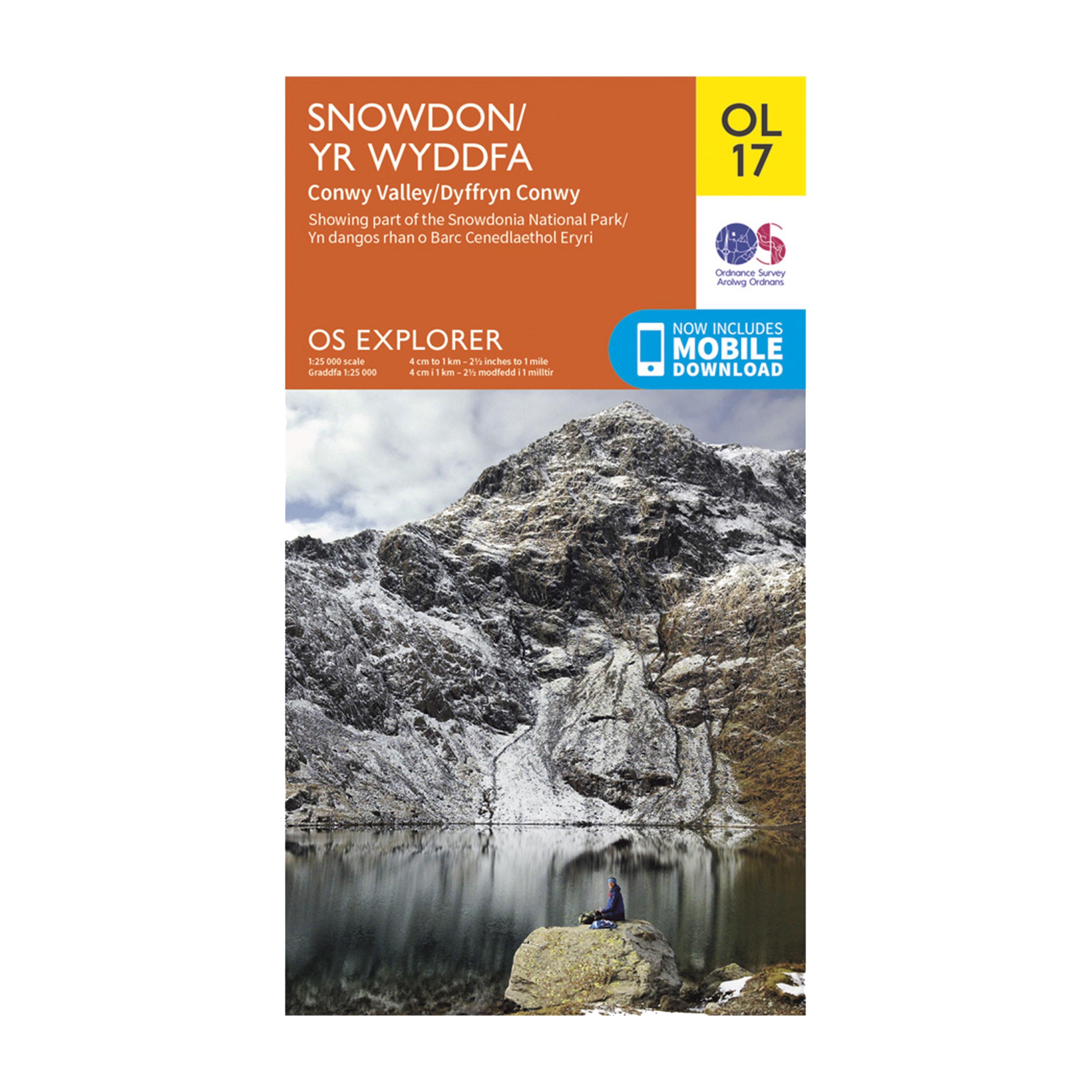
OL 17 Explorer Snowdon Map
Quantity
-
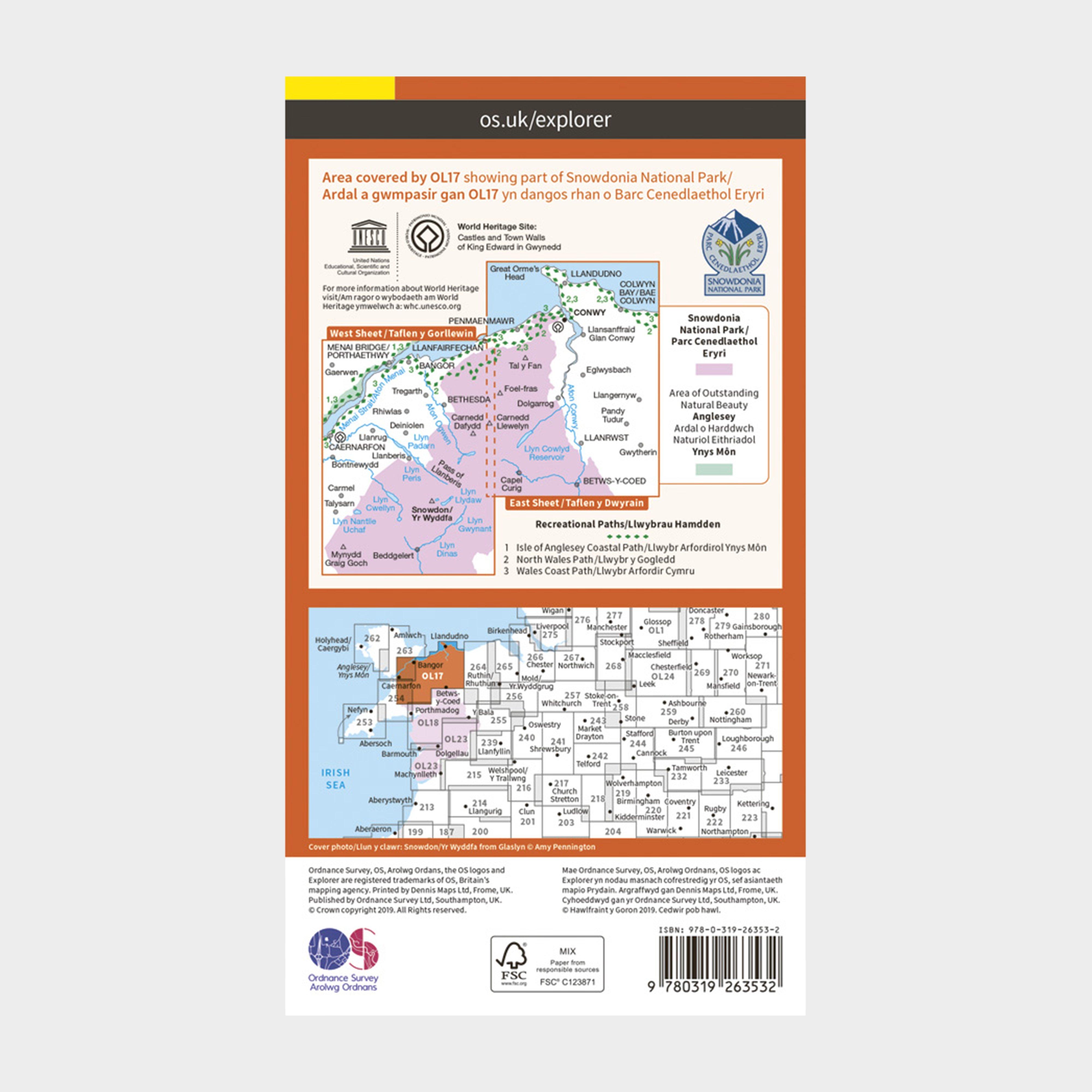
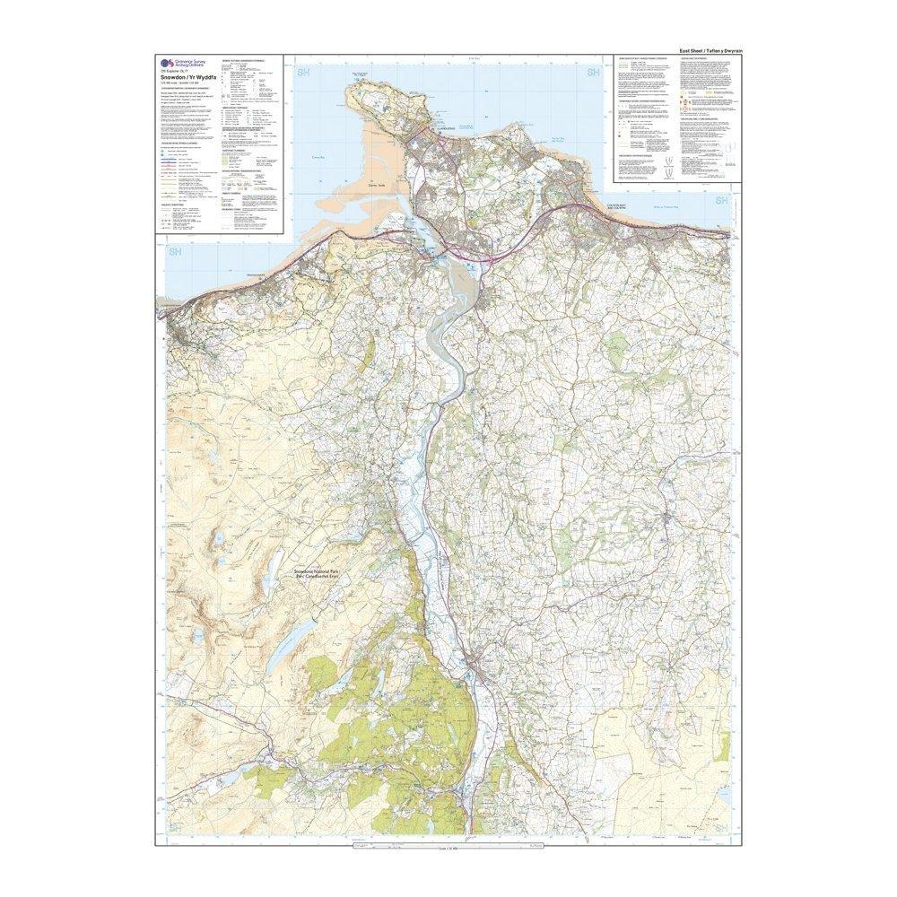
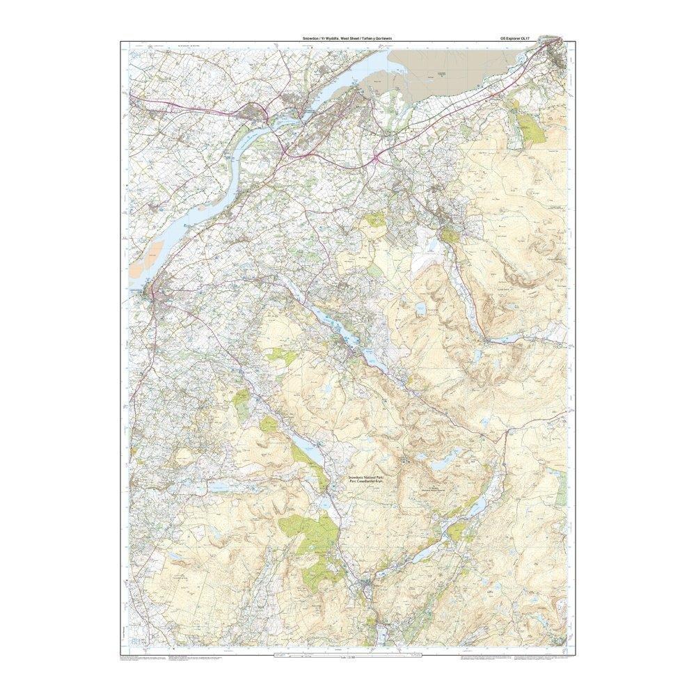
DetailMap sheet number OL17 in the OS Explorer map series is the ideal map for exploring the mountain scenery in Snowdon. This area, famous for its fantastic walking routes, is home to the highest mountain in Wales. Take one of the six well mapped routes to the summit of Mount Snowdon and enjoy the views. Providing complete GB coverage, the OS Explorer map series details information essential in the great outdoors, including youth hostels, pubs and visitor information. Rights of way, fences, permissive paths and bridleways are clearly shown, ensuring you have the best information to get the most out of your time in the countryside. North Wales Path Isle of Anglesey Coastal Path / Llwybr Arfordirol Ynys Mon Bangor Betws-y-coed Caernarfon Conwy Llandudno Snowdonia National Park Gwynedd Clwyd 1:25 000 scale (4 cm to 1 km – 2.5 inches to 1 mile) This map comes with a digital version which you can download to your smartphone or tablet. Go to OS.uk/redeem for more details (terms and conditions apply). Scratch off the panel on the inside cover of the map to reveal a code, you are then just three easy steps away from downloading your digital map. If the scratch panel has already been scratched off or if you have any problems downloading your map, please call the OS Customer Service Centre on 03456 050505.
-
Customer ReviewsNo comments
You May Also Like

80%
OFF
15 Metre Utility Cord
£ 3.00
£ 0.60

80%
OFF
Trail Runner Free 2 Head Torch
£ 56.00
£ 11.20


80%
OFF
Men’s Terra Pants
£ 65.00
£ 13.00

80%
OFF
Fleece Blanket
£ 4.00
£ 0.80
80%
OFF
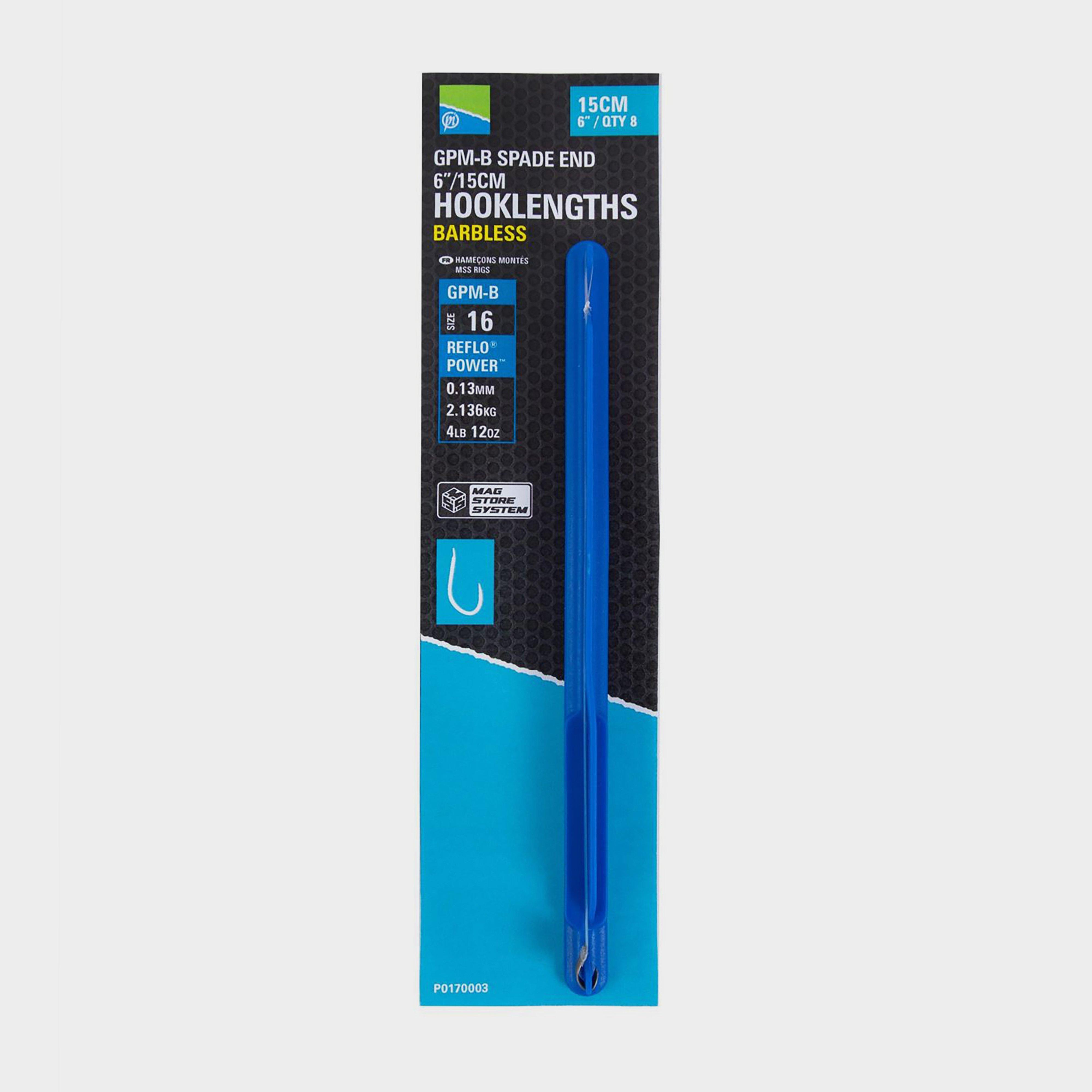
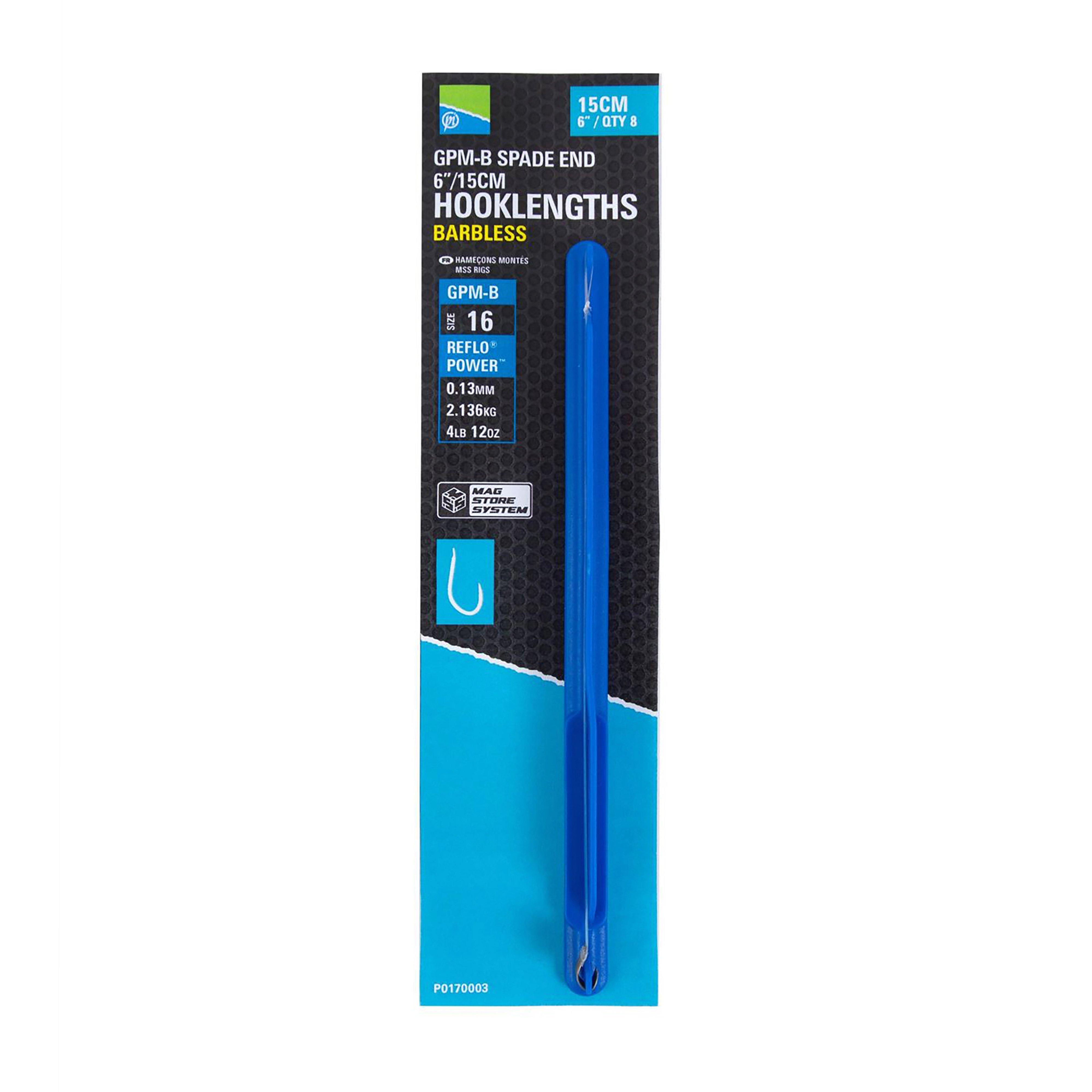
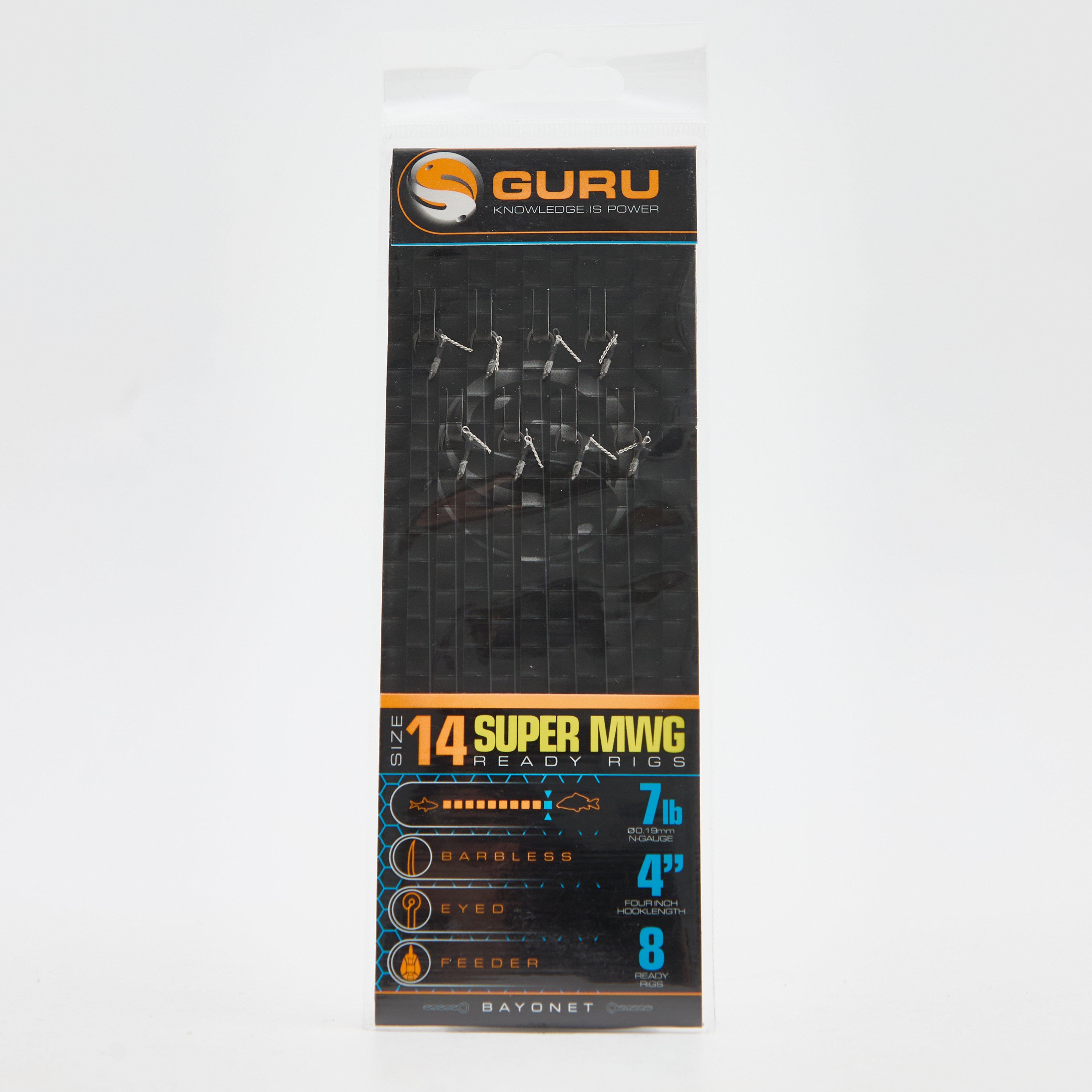
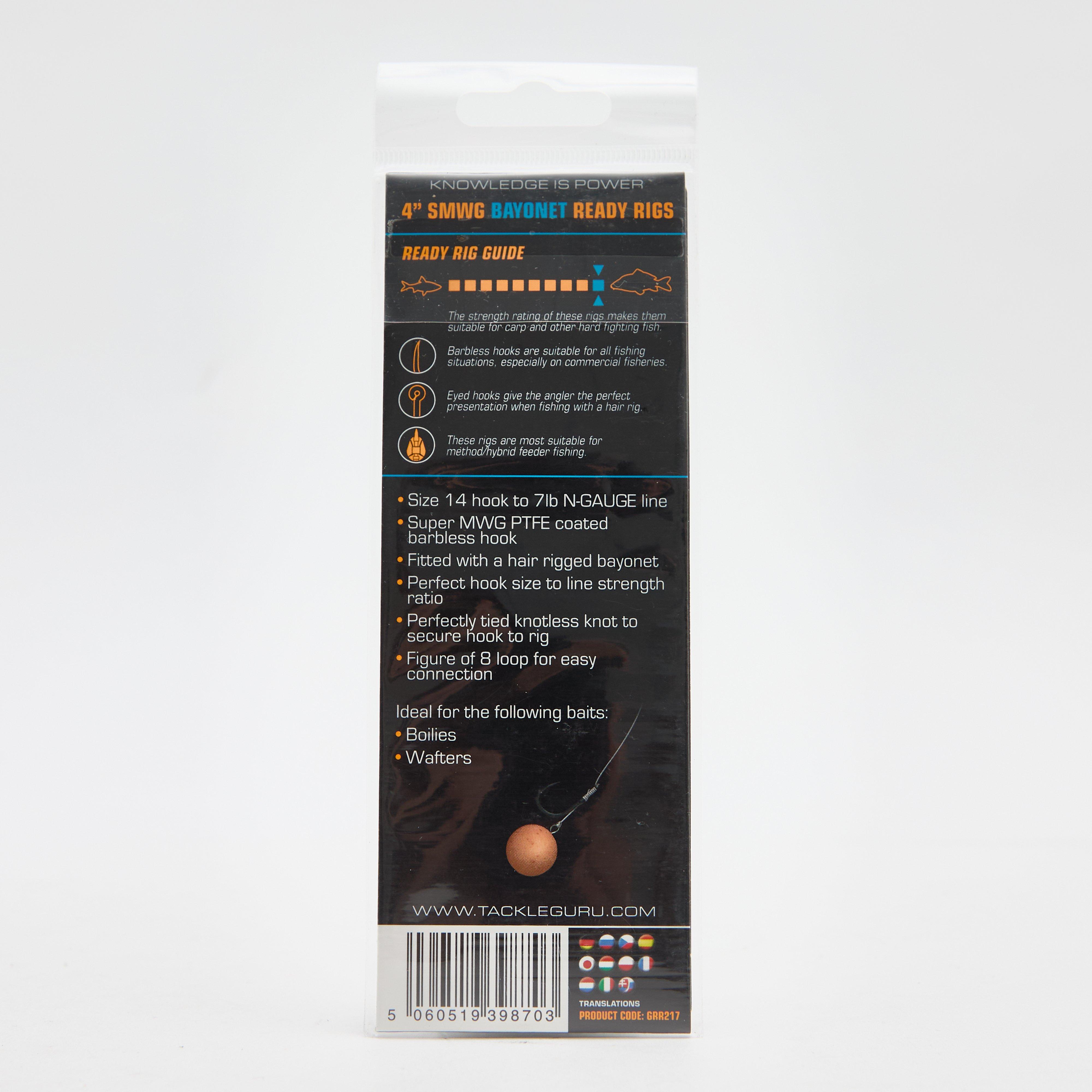
6in Sz16 Gpm-B Mag Store Hklengths
£ 3.15
£ 0.63
79%
OFF
Bait Bands 4 Inch Size 16
£ 3.99
£ 0.80
80%
OFF
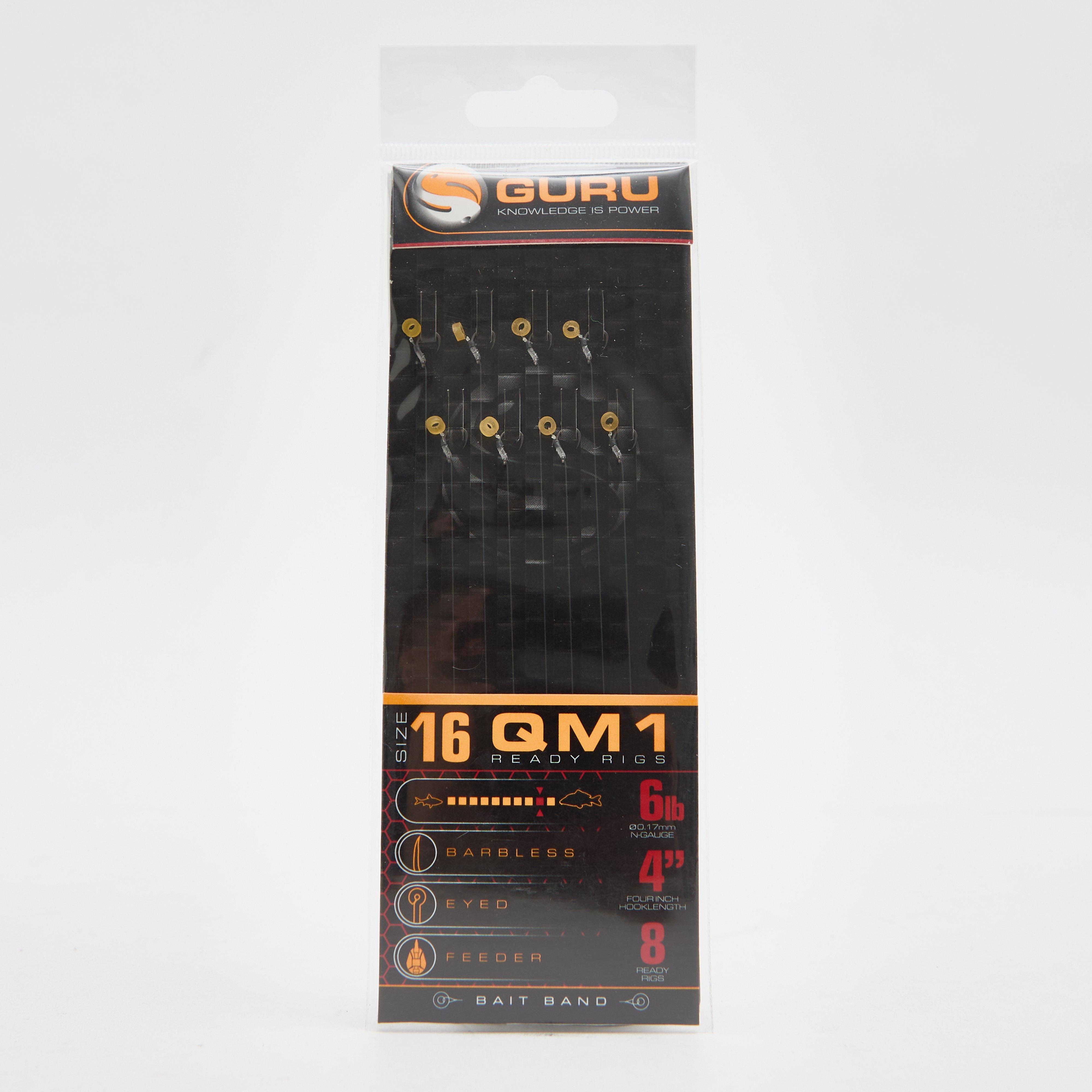
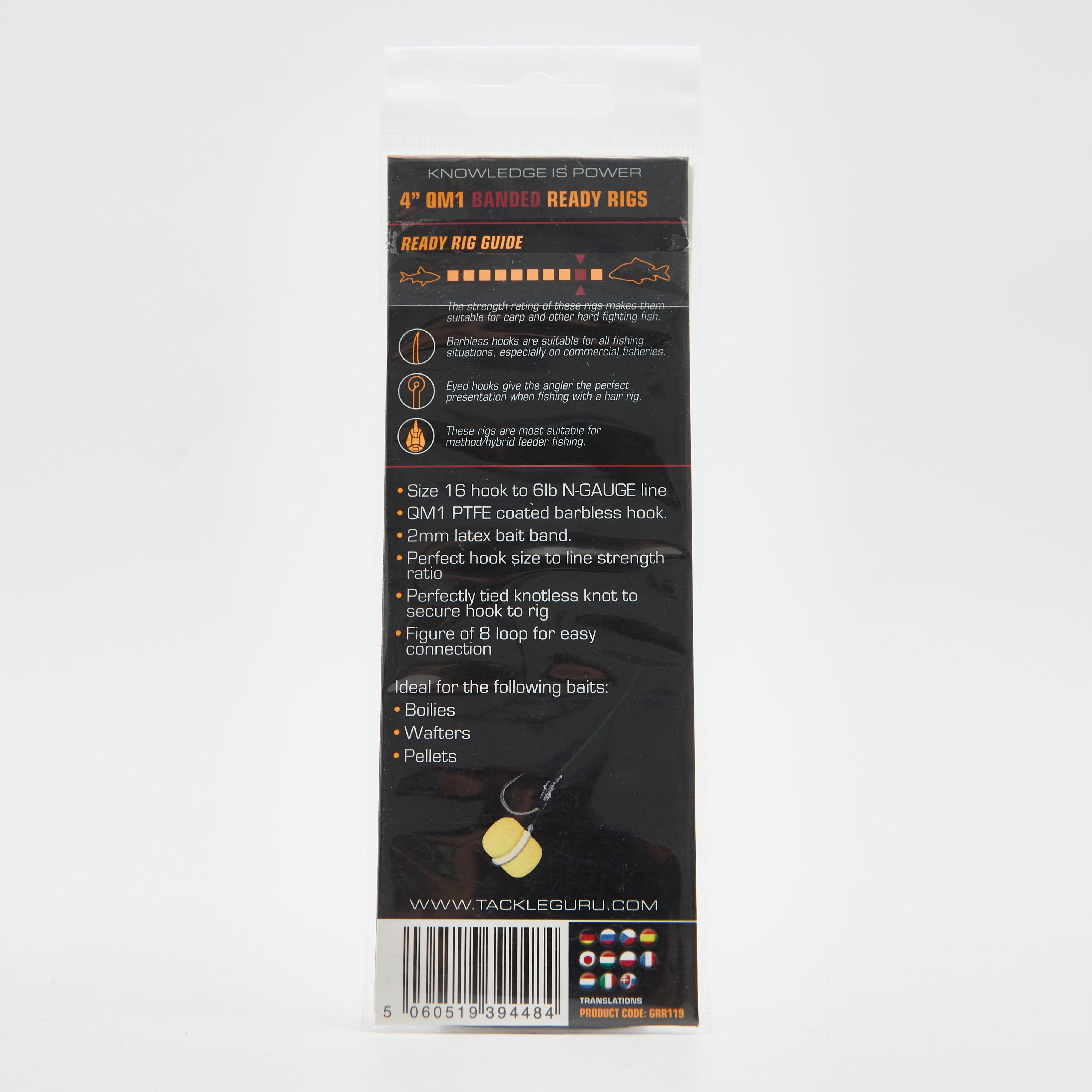
QM1 Bait Bands 4 Inch Size 14
£ 3.75
£ 0.75


80%
OFF
28 Litre 12V 240V Cooler
£ 49.00
£ 9.80


80%
OFF
Soft Ground Chair Feet
£ 0.97
£ 0.19


80%
OFF
Camp Bistro Elite Cooking Stove
£ 15.00
£ 3.00

80%
OFF
Kentucky Classic Chair
£ 15.00
£ 3.00

80%
OFF
Safari Chef 2
£ 74.97
£ 14.99
80%
OFF
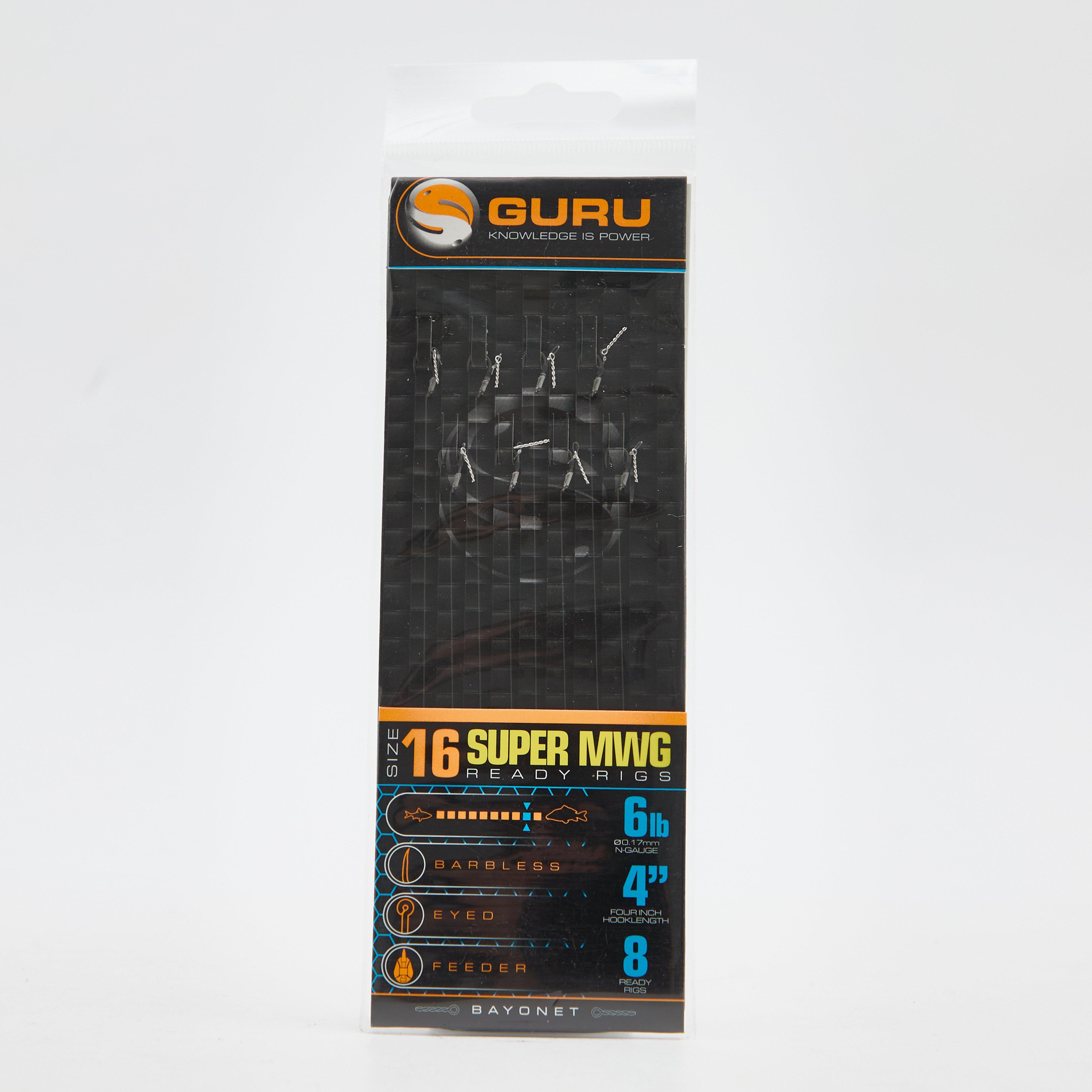
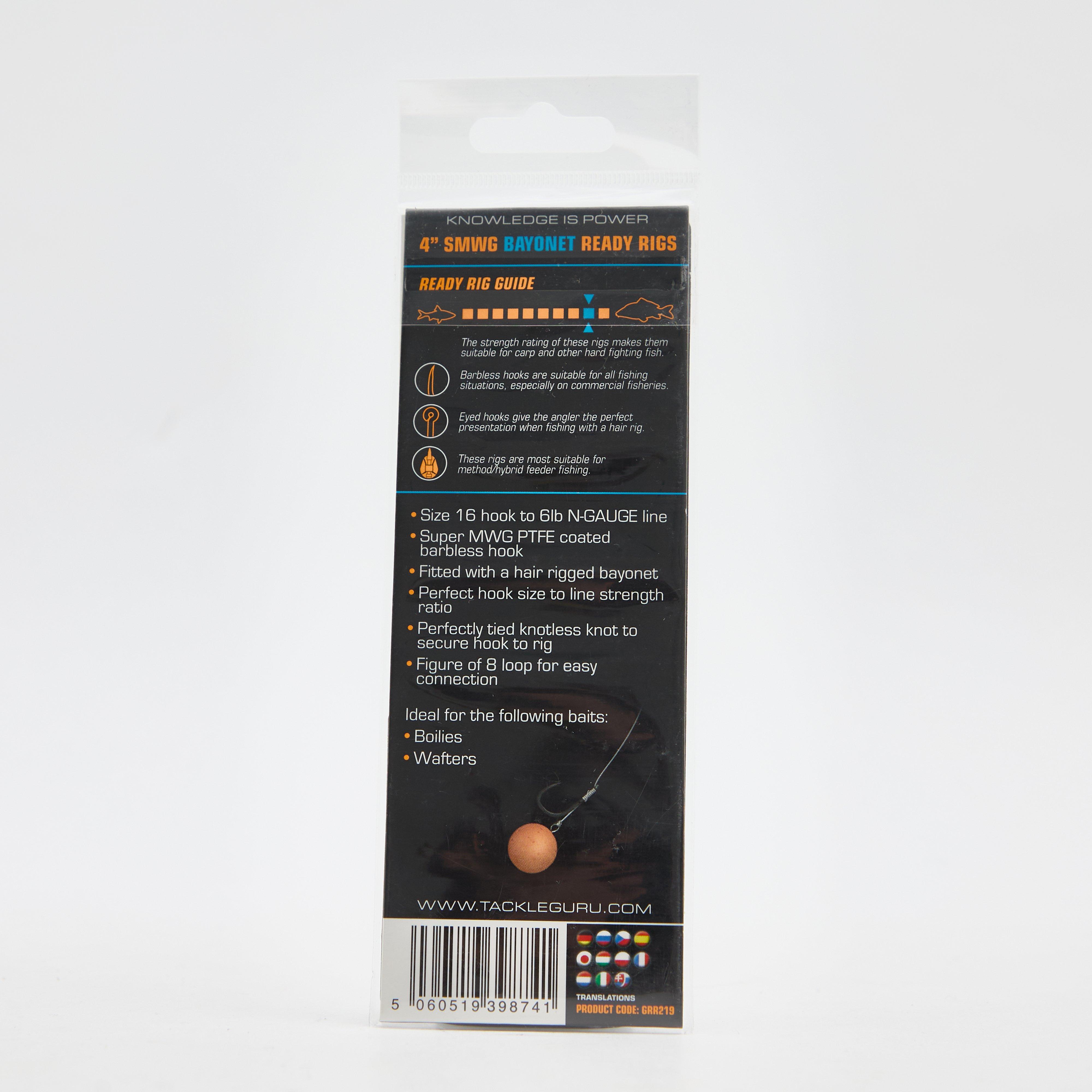
SMWG Standard Hair 4" Size 16
£ 3.75
£ 0.75


80%
OFF
Men's MOAB 3 GORE-TEX® Walking Shoes
£ 126.00
£ 25.20

80%
OFF
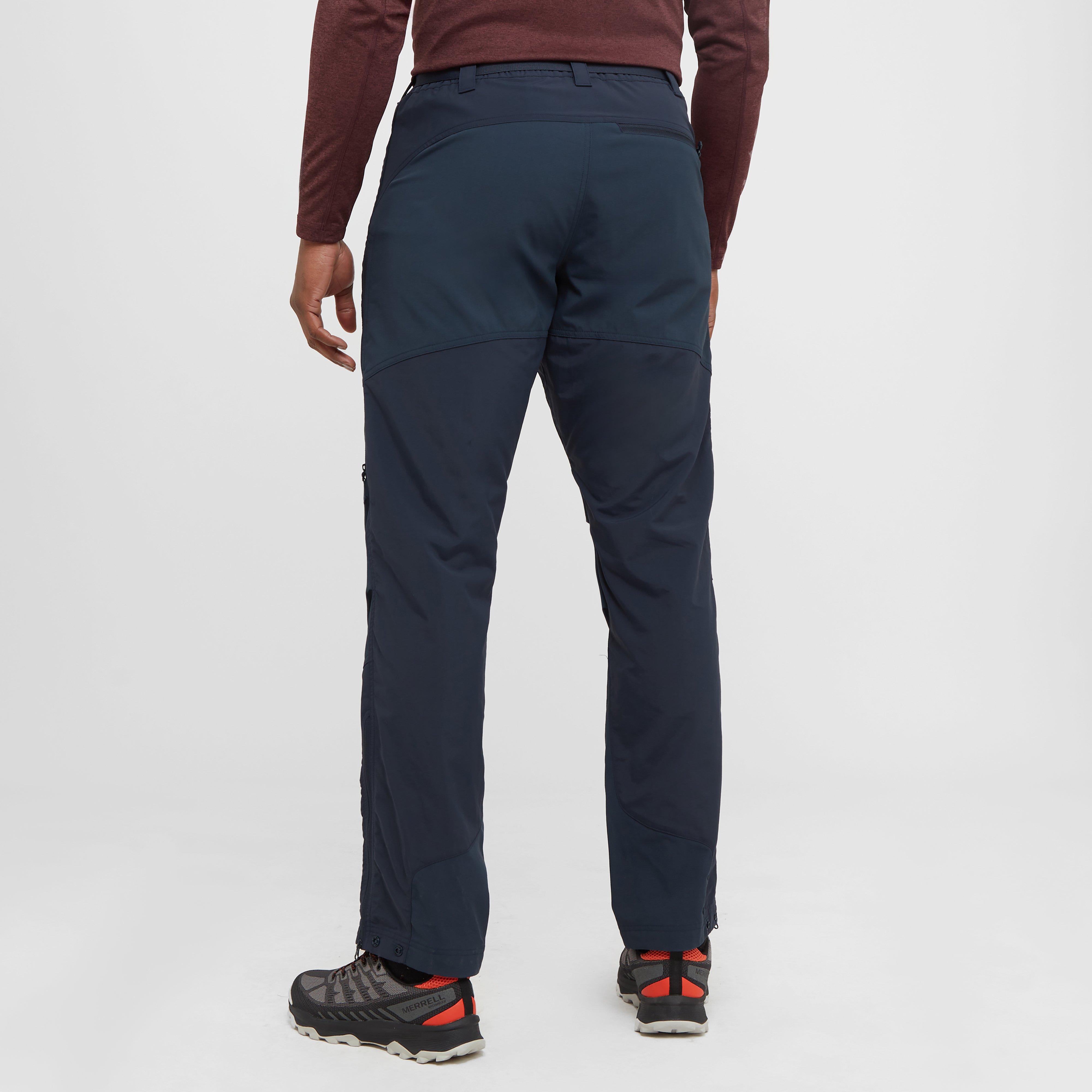
Men’s Terra Pants
£ 65.00
£ 13.00


80%
OFF
FXT Crystal Pellet Waggler 8g
£ 2.95
£ 0.59
80%
OFF
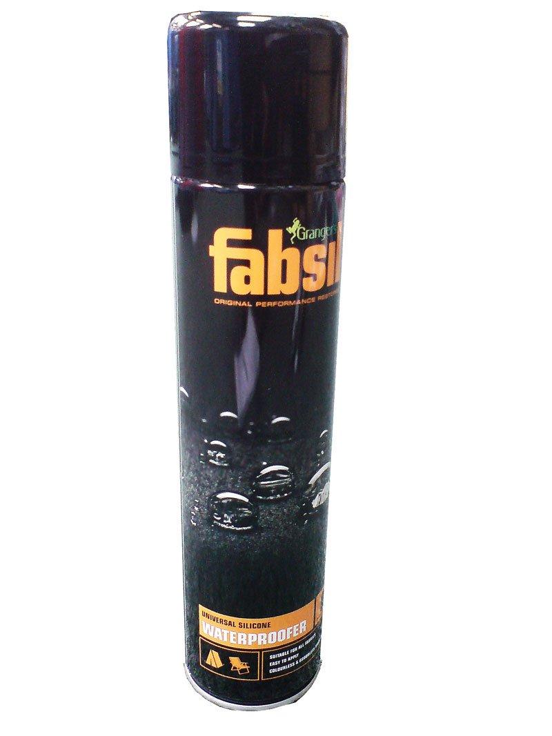
Fabsil Aerosol Proofer (600ml)
£ 10.00
£ 2.00


80%
OFF
FXT Crystal Pellet Waggler 6g
£ 2.95
£ 0.59


80%
OFF
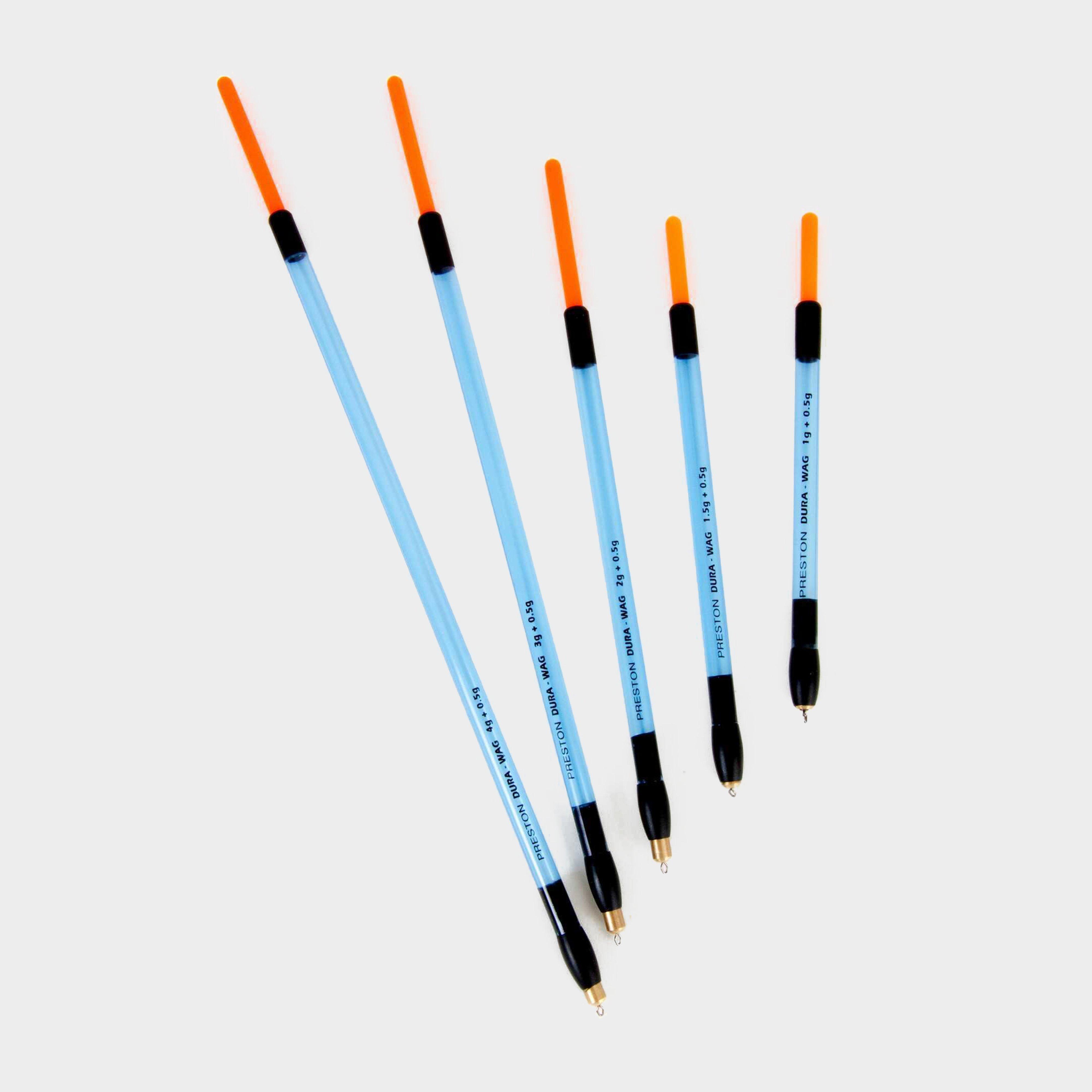
Insert Dura Straight Waggler 1+0.5g
£ 1.80
£ 0.36

80%
OFF
Insert Dura Straight Waggler 1.5+0.5g
£ 1.80
£ 0.36