
Landranger 103 Blackburn & Burnley, Clitheroe & Skipton Map
Quantity
-
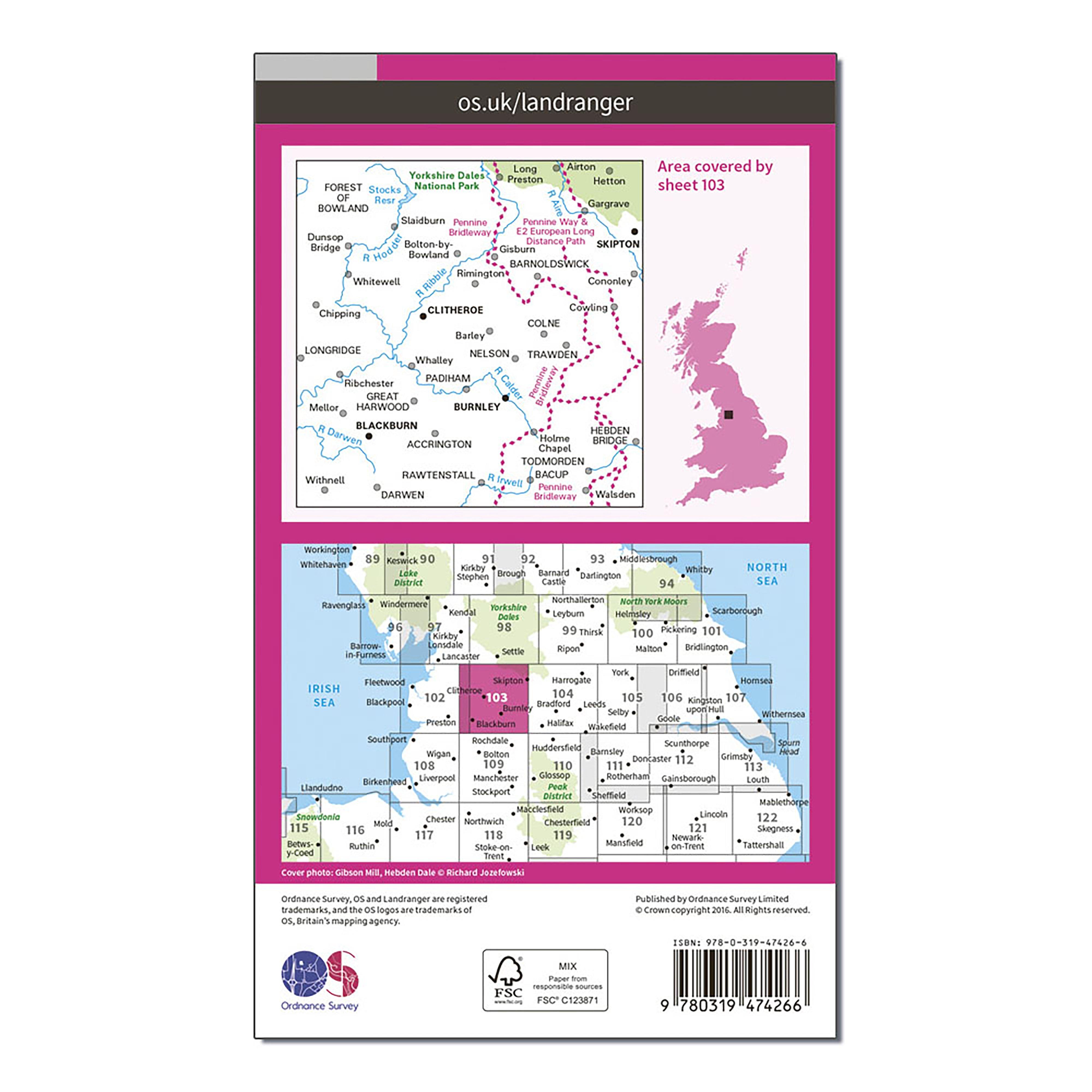
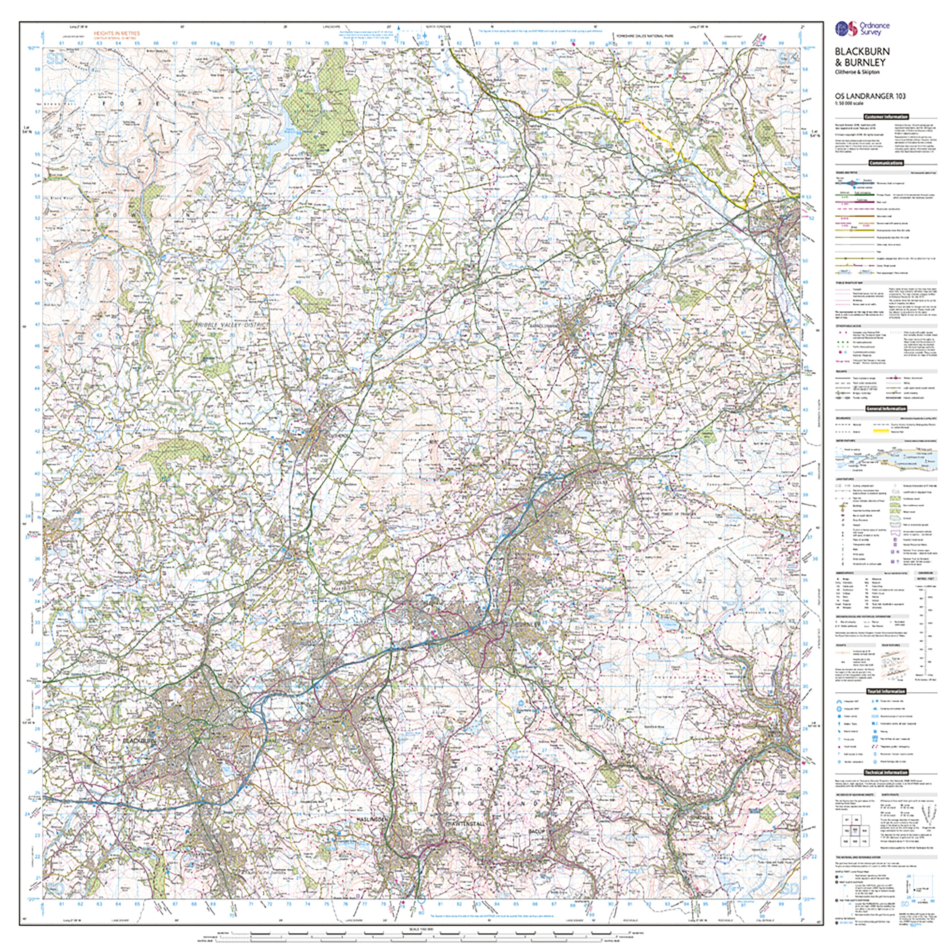
DetailThe OS Landranger Map is the ideal map for planning the perfect day out. This best known national map series provides all the information you need to really get to know an area, whether you are a visitor or a local resident. The OS Landranger Map Active is tough, durable and weatherproof. The maps are covered in a lightweight protective plastic coating that can be written on, so your favourite routes can be easily highlighted. This map comes with a digital version which you can download to your smartphone or tablet. Go to OS.uk/redeem for more details (terms and conditions apply). Features Yorkshire Dales National Park Pennine Way Pennine Bridleway Calderdale Way Pendle Way Ribble Way Rossendale Way Irwell Sculpture Trail (Formerly Irwell Valley Way) Bronte Way Haworth to Hebden Bridge Walk Burnley Way Witton Weavers Way Todmorden Centenary Way Rochdale Way Millennium Way Pennine Way (National Trail) E2 (European Long Distance Route) Pennine Bridleway (National Trail) North Yorkshire Lancashire West Yorkshire Accrington Blackburn Burnley Clitheroe Skipton Scratch off the panel on the inside cover of the map to reveal a code, you are then just three easy steps away from downloading your digital map. If the scratch panel has already been scratched off or if you have any problems downloading your map, please call the OS Customer Service Centre on 03456 050505.
-
Customer ReviewsNo comments
You May Also Like
80%
OFF
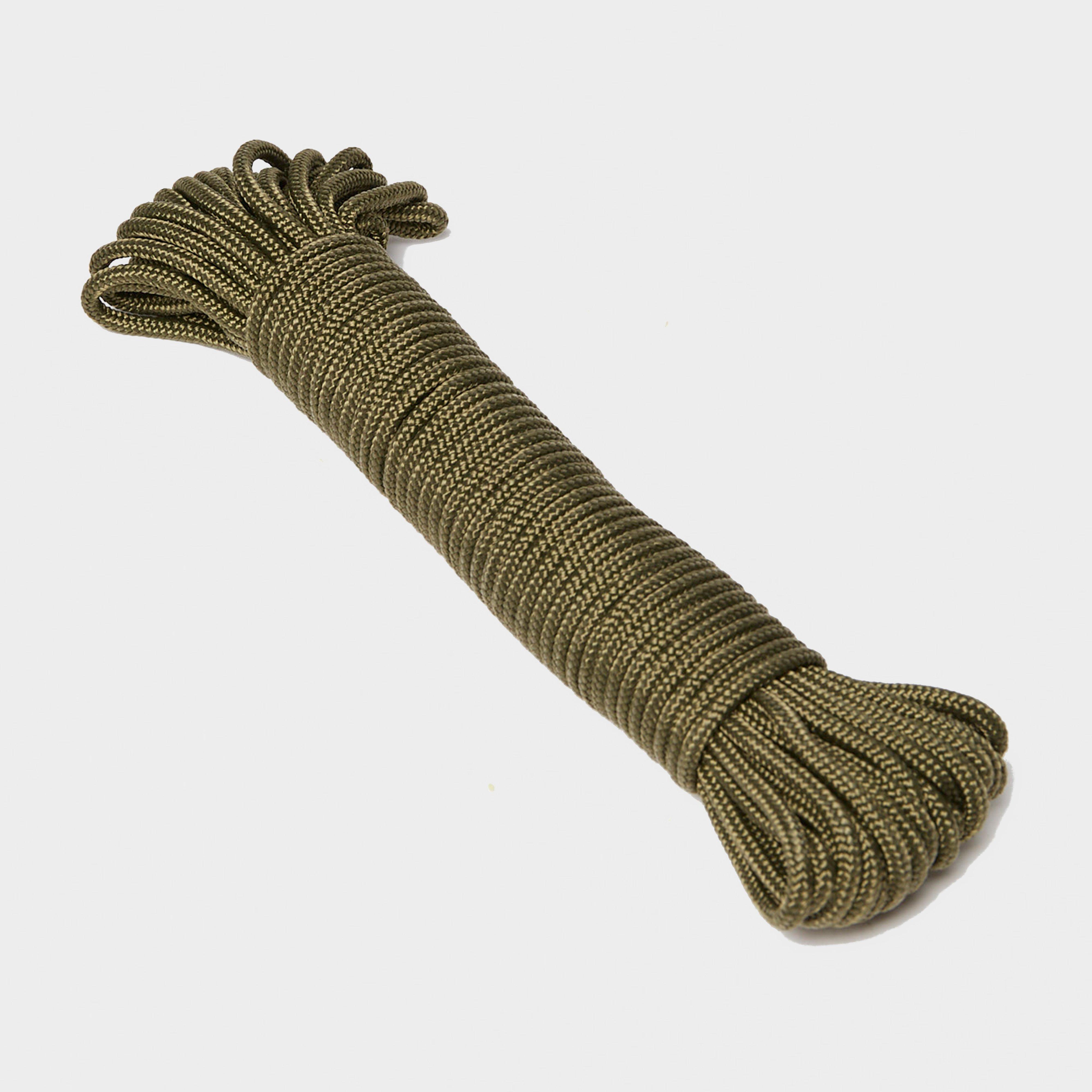
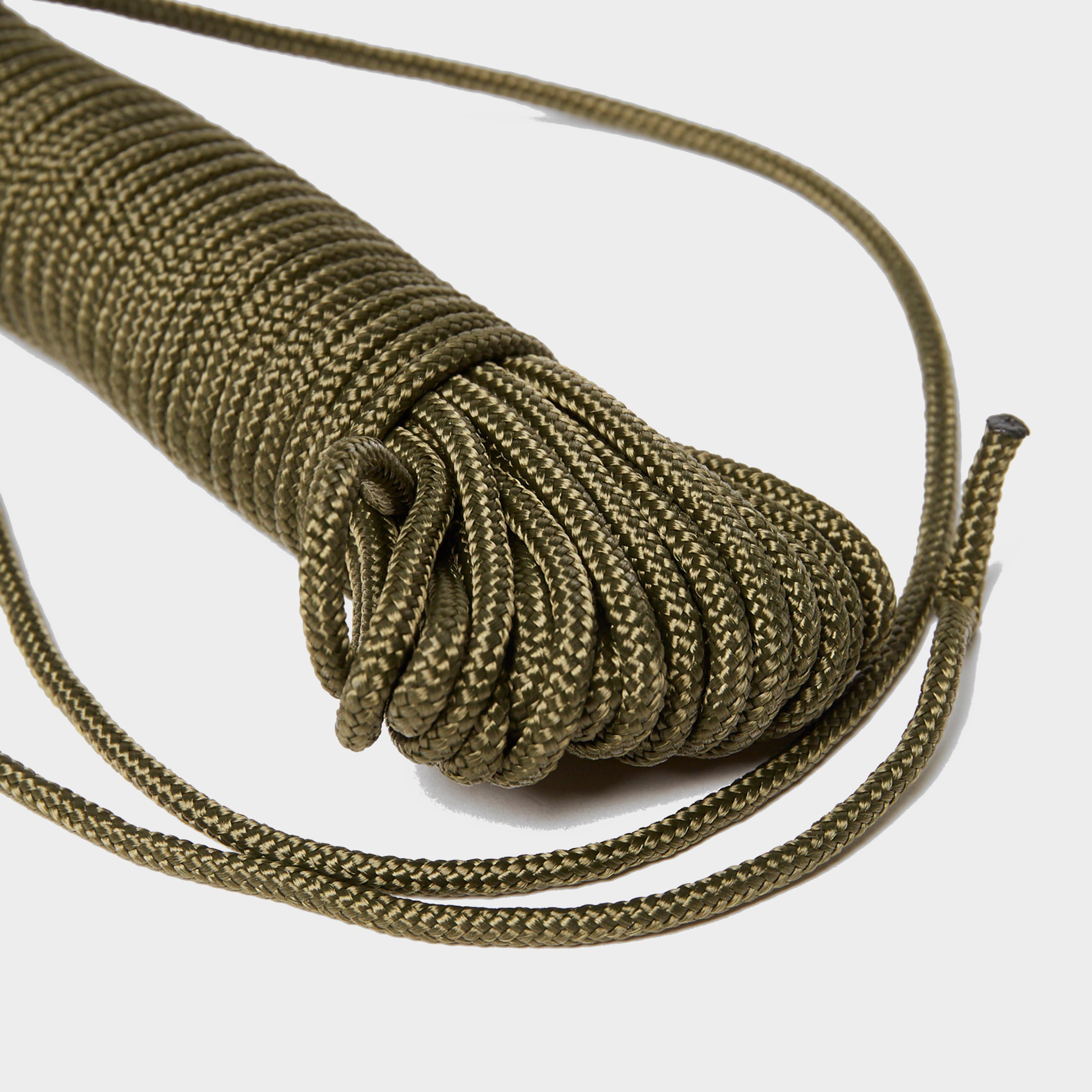
15 Metre Utility Cord
£ 3.00
£ 0.60

80%
OFF
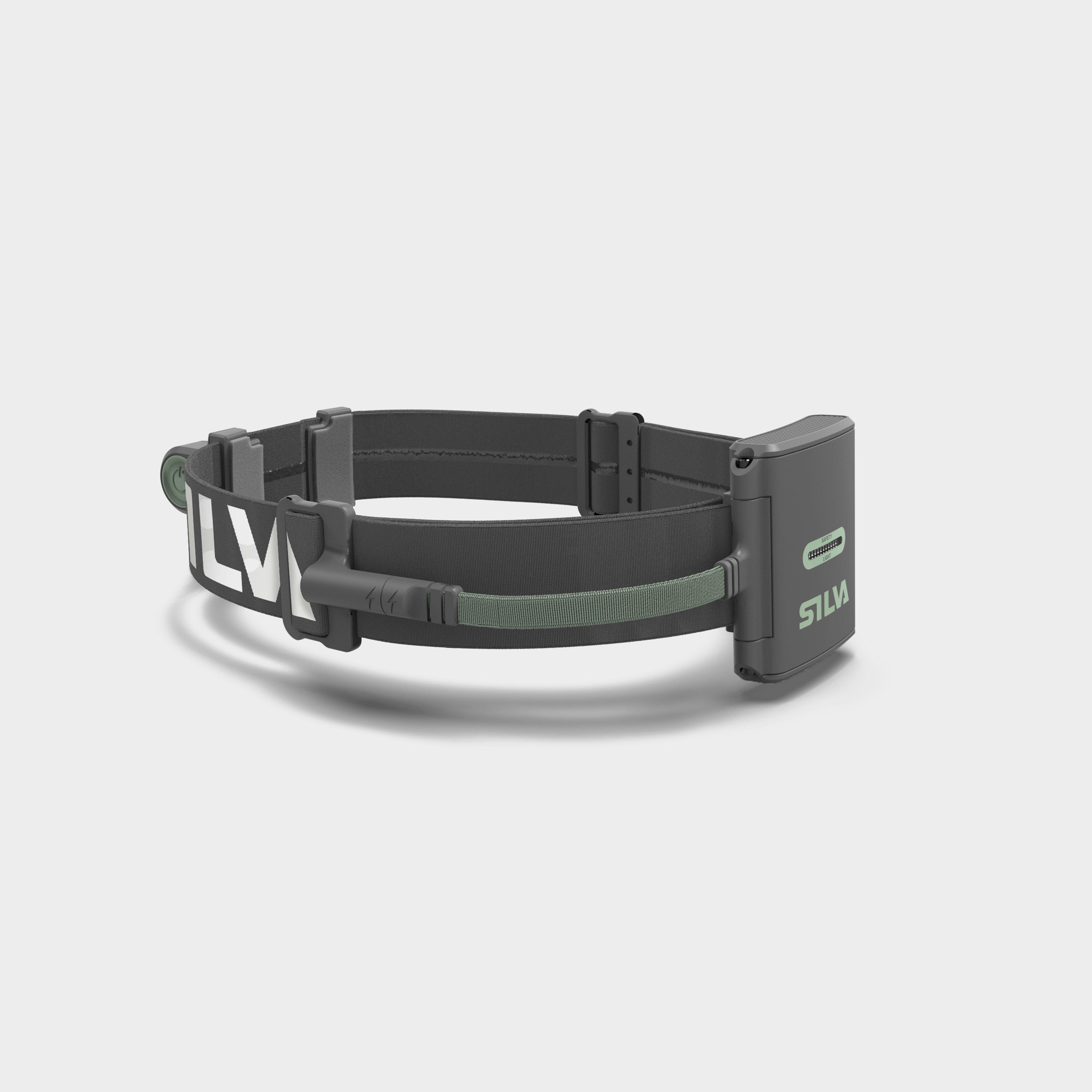
Trail Runner Free 2 Head Torch
£ 56.00
£ 11.20


80%
OFF
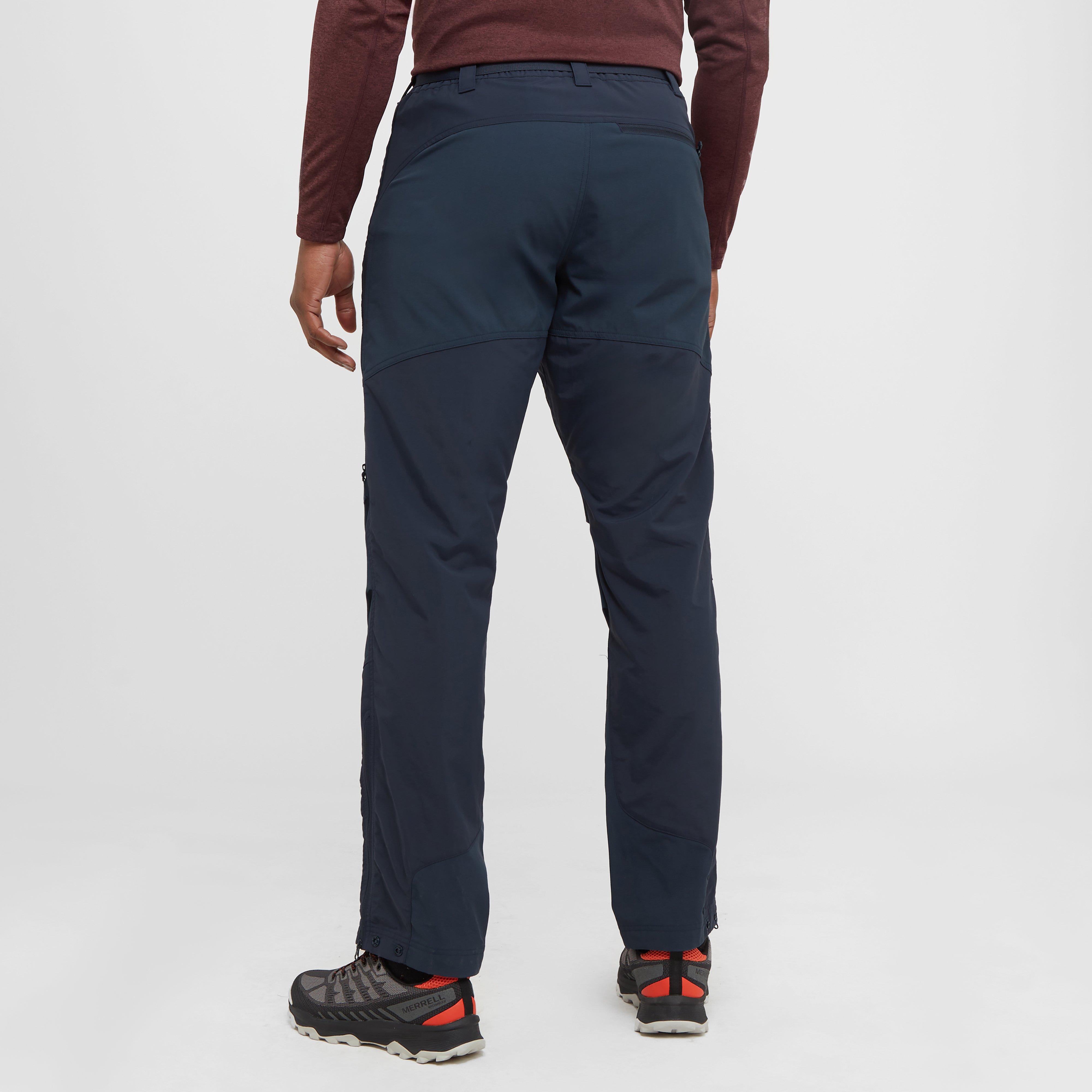
Men’s Terra Pants
£ 65.00
£ 13.00

80%
OFF
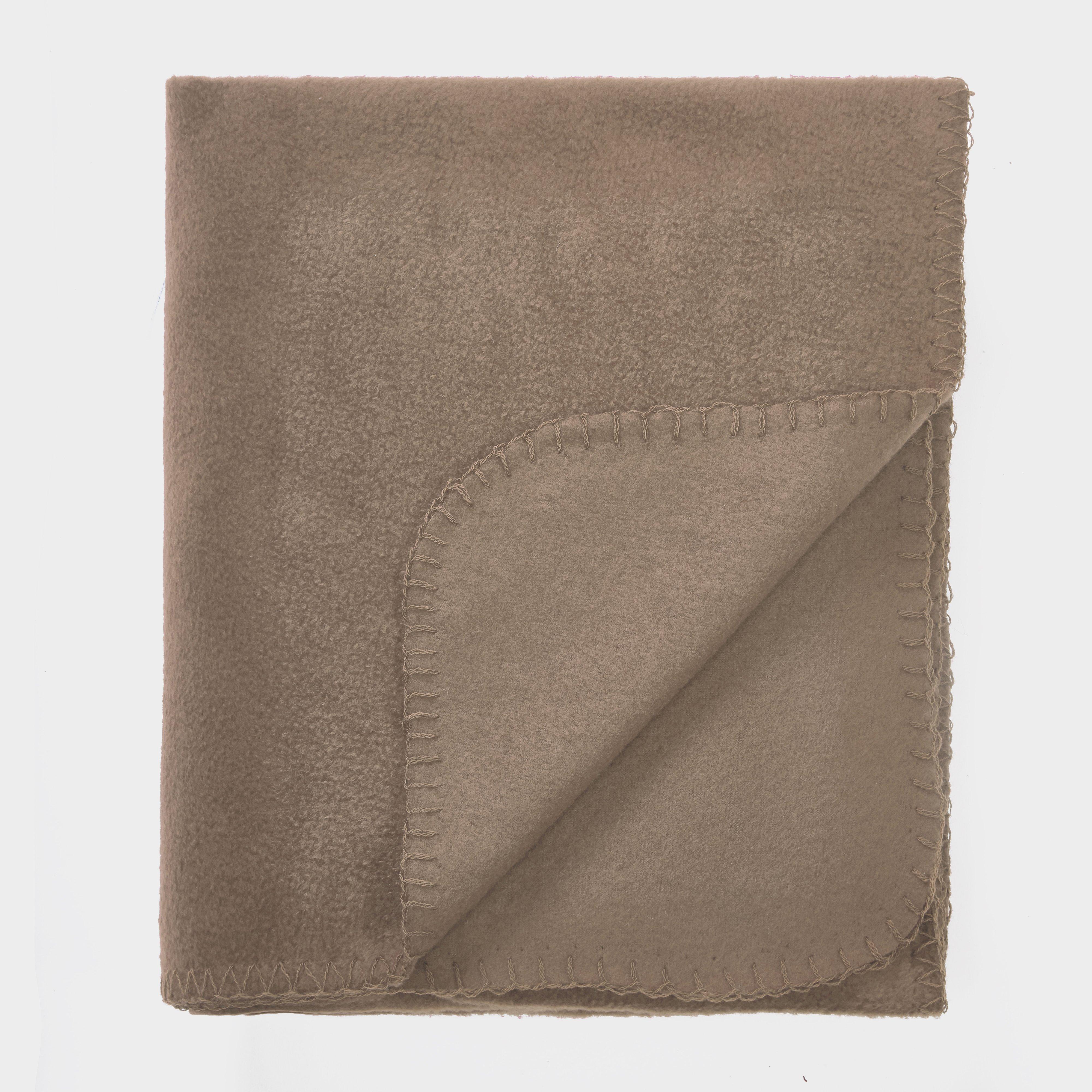
Fleece Blanket
£ 4.00
£ 0.80
80%
OFF
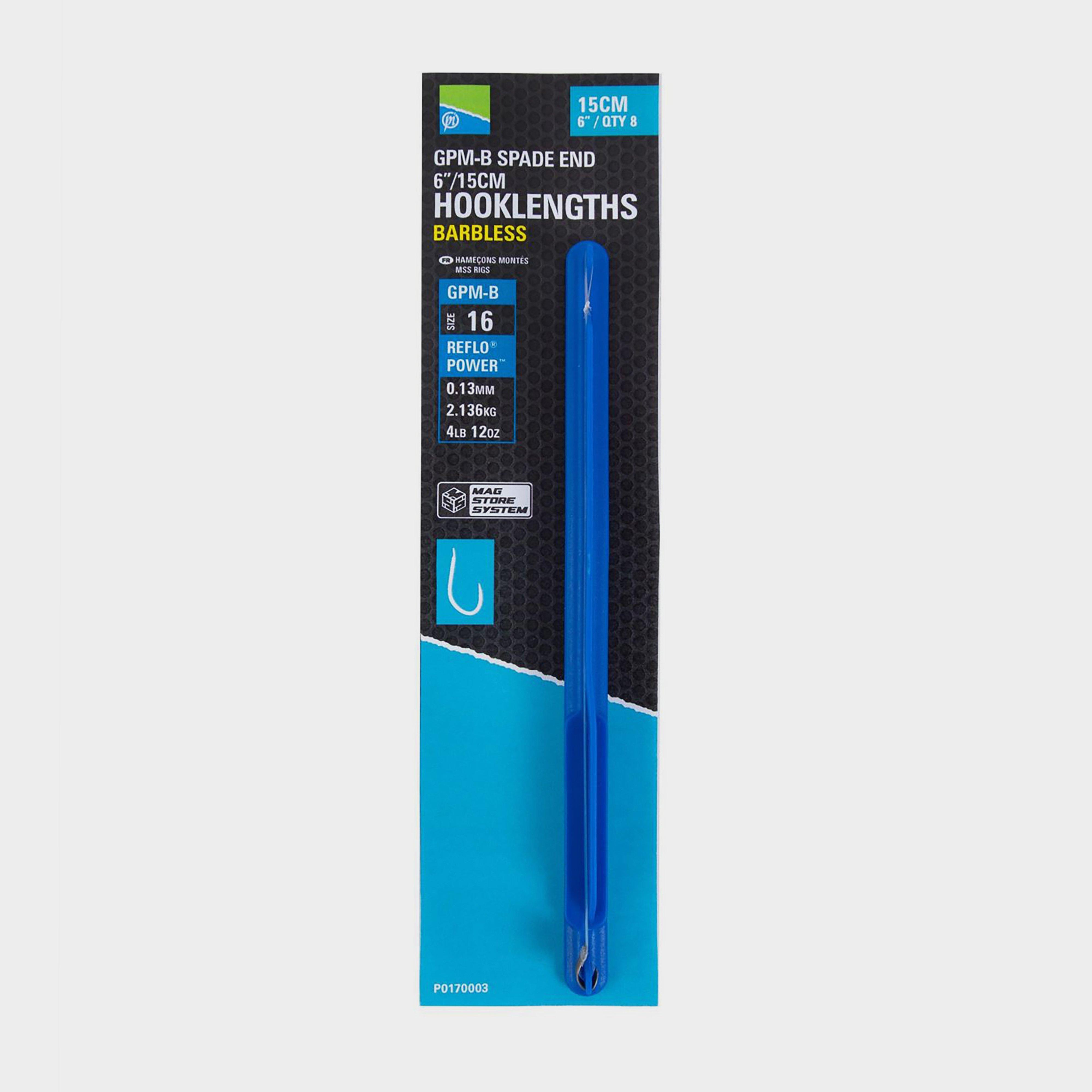
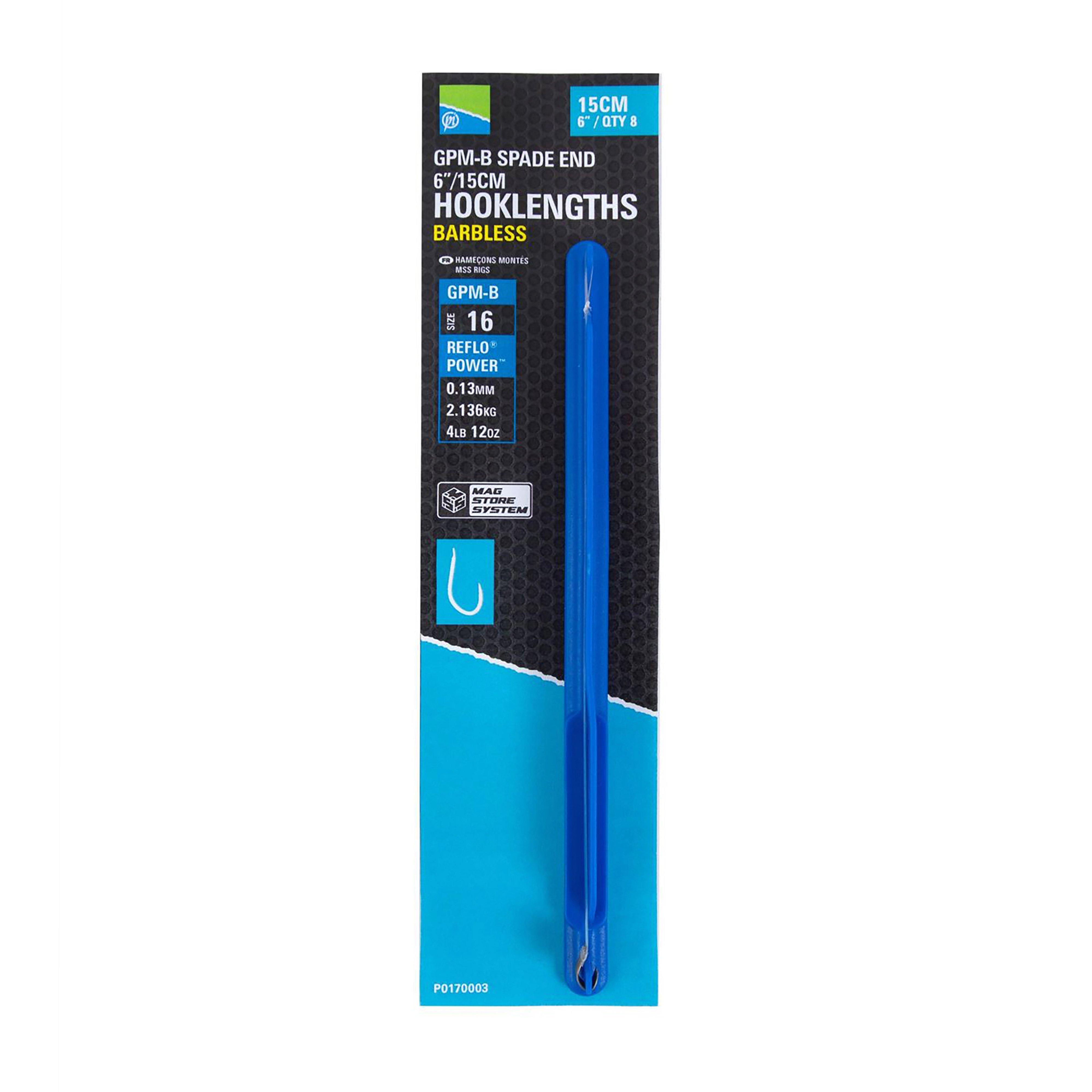
6in Sz16 Gpm-B Mag Store Hklengths
£ 3.15
£ 0.63
79%
OFF
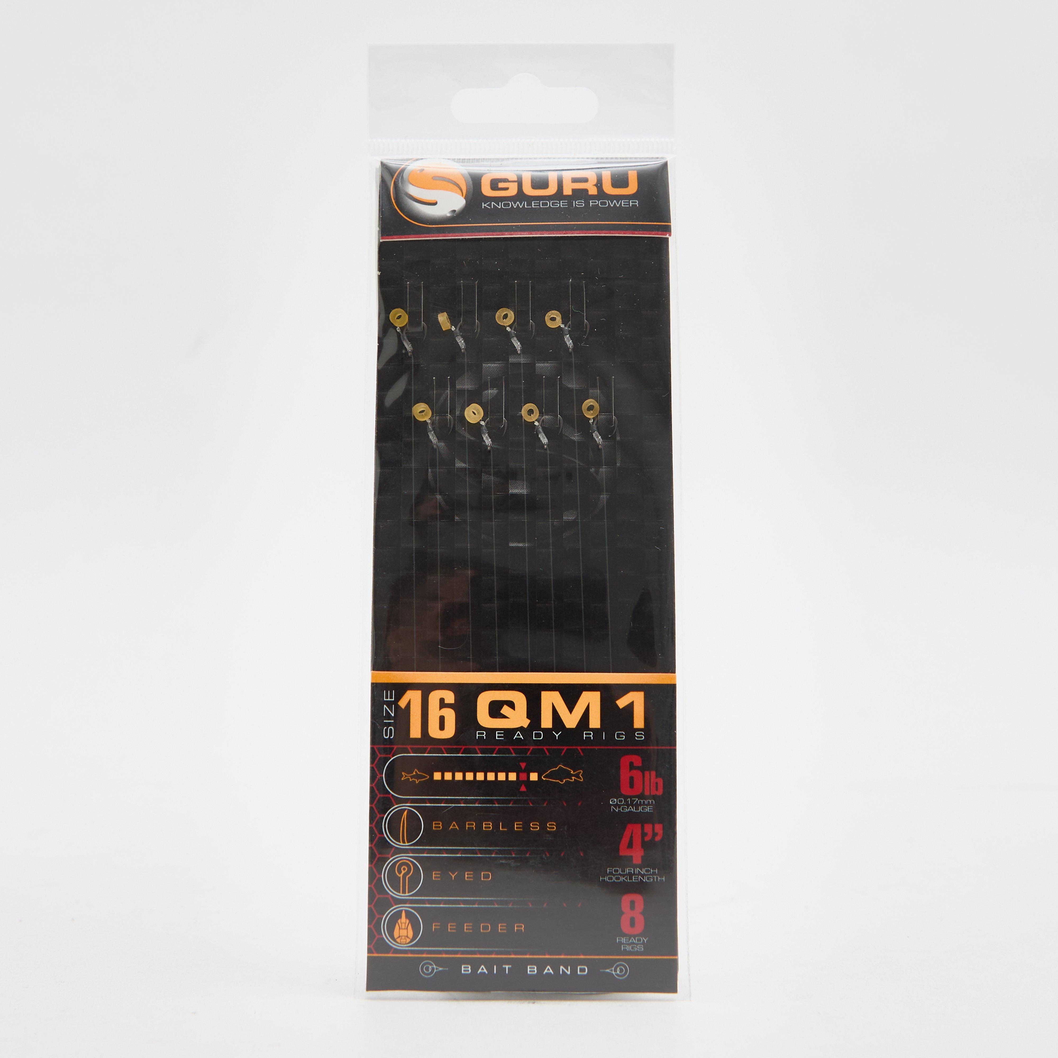
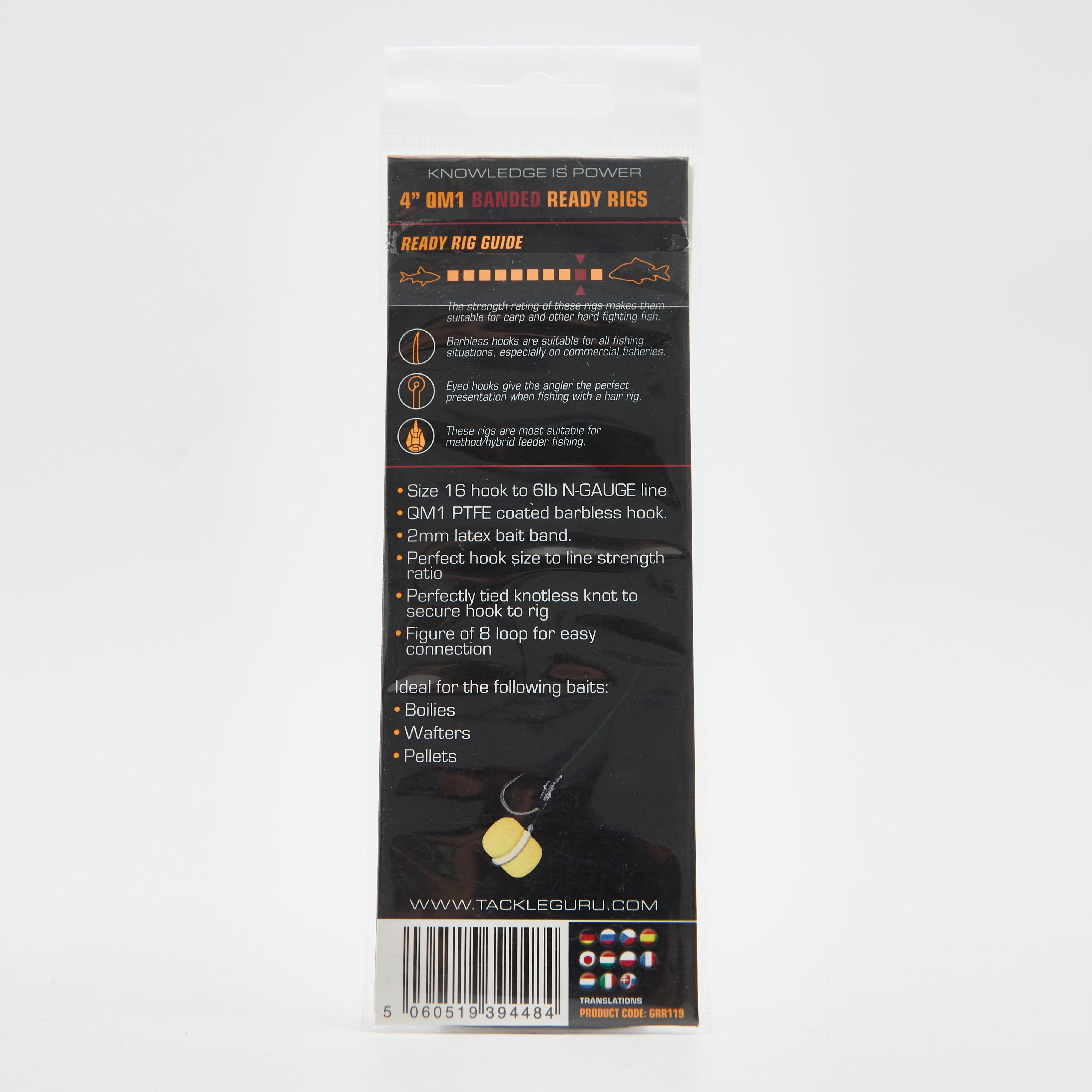
Bait Bands 4 Inch Size 16
£ 3.99
£ 0.80
80%
OFF
QM1 Bait Bands 4 Inch Size 14
£ 3.75
£ 0.75

80%
OFF
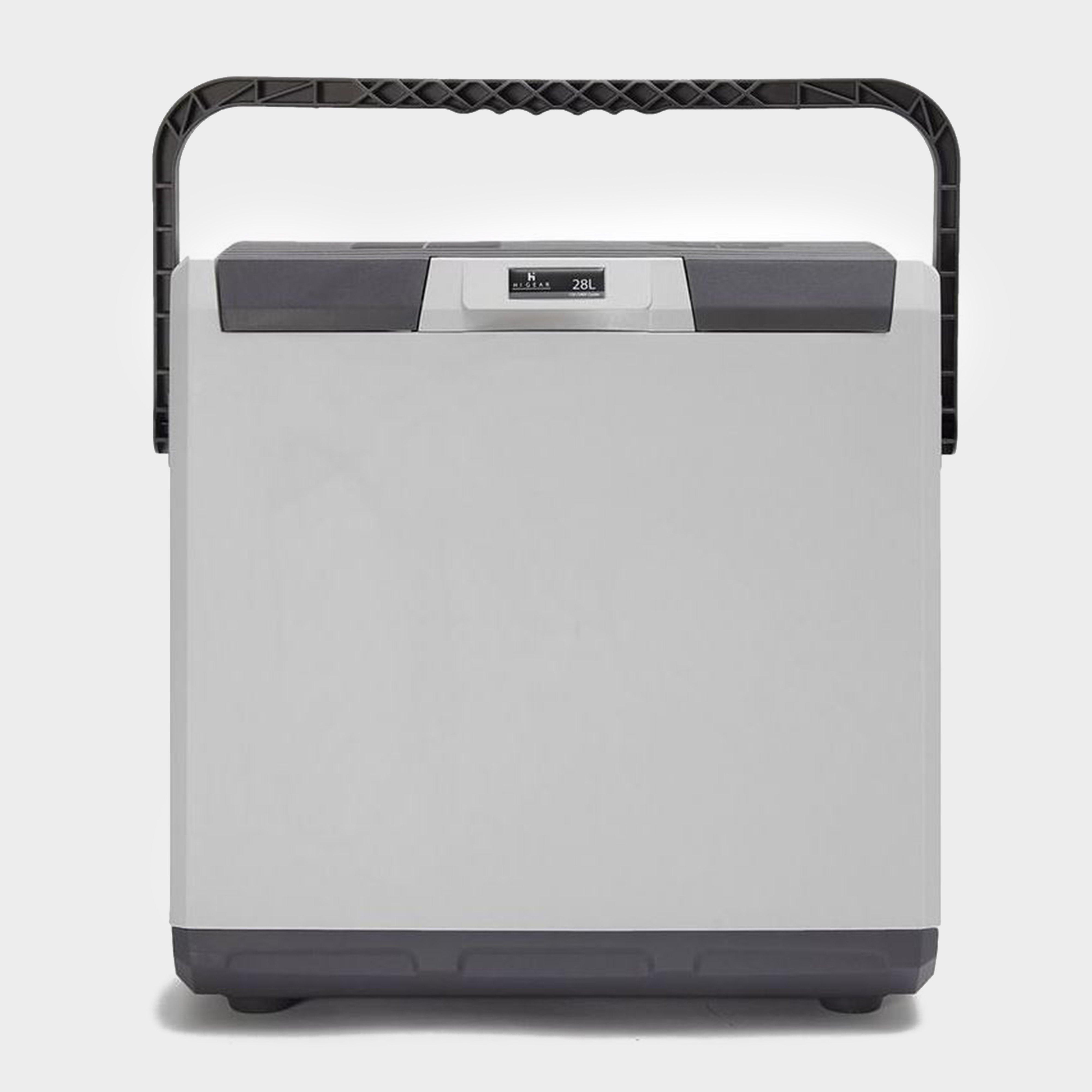
28 Litre 12V 240V Cooler
£ 49.00
£ 9.80


80%
OFF
Soft Ground Chair Feet
£ 0.97
£ 0.19


80%
OFF
Camp Bistro Elite Cooking Stove
£ 15.00
£ 3.00
80%
OFF
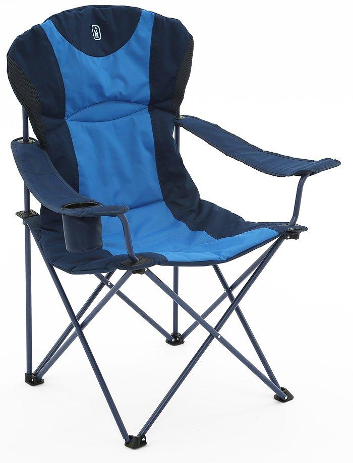
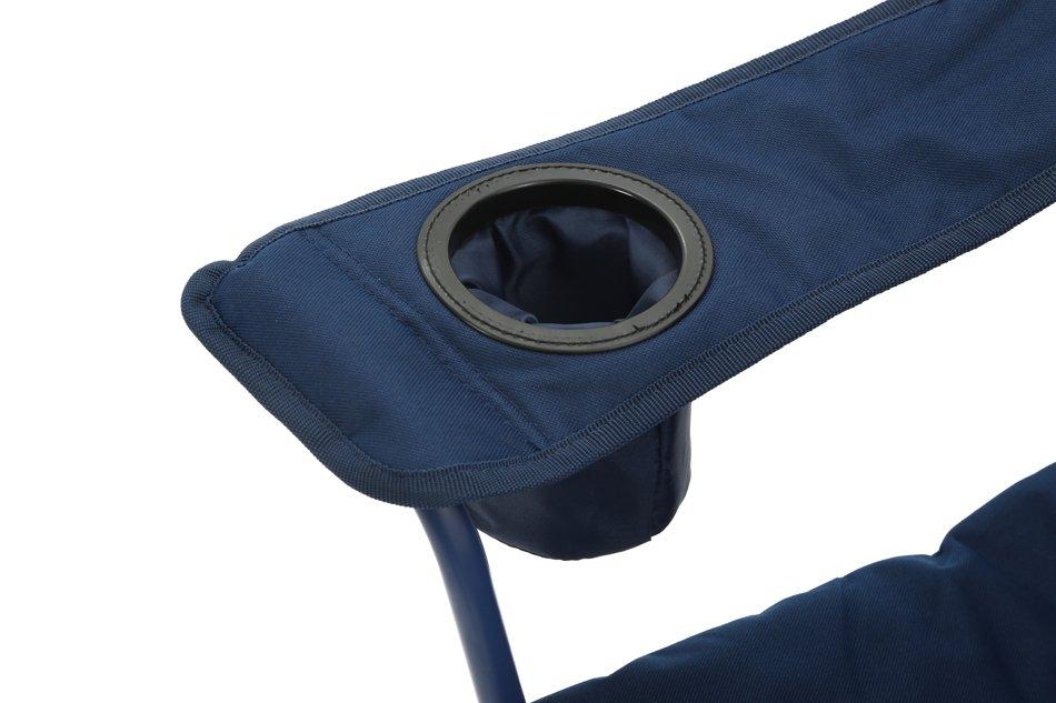
Kentucky Classic Chair
£ 15.00
£ 3.00

80%
OFF
Safari Chef 2
£ 74.97
£ 14.99
80%
OFF
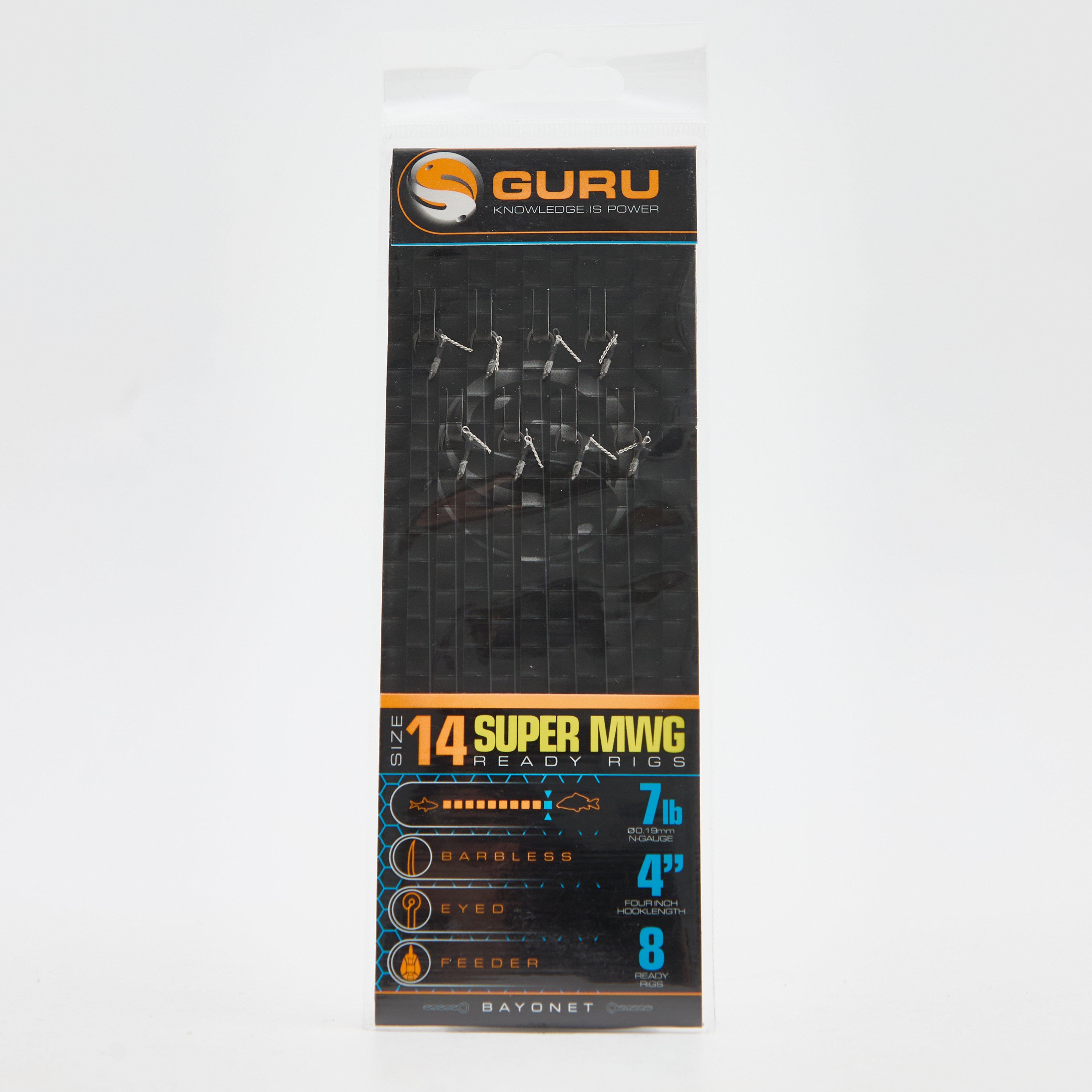
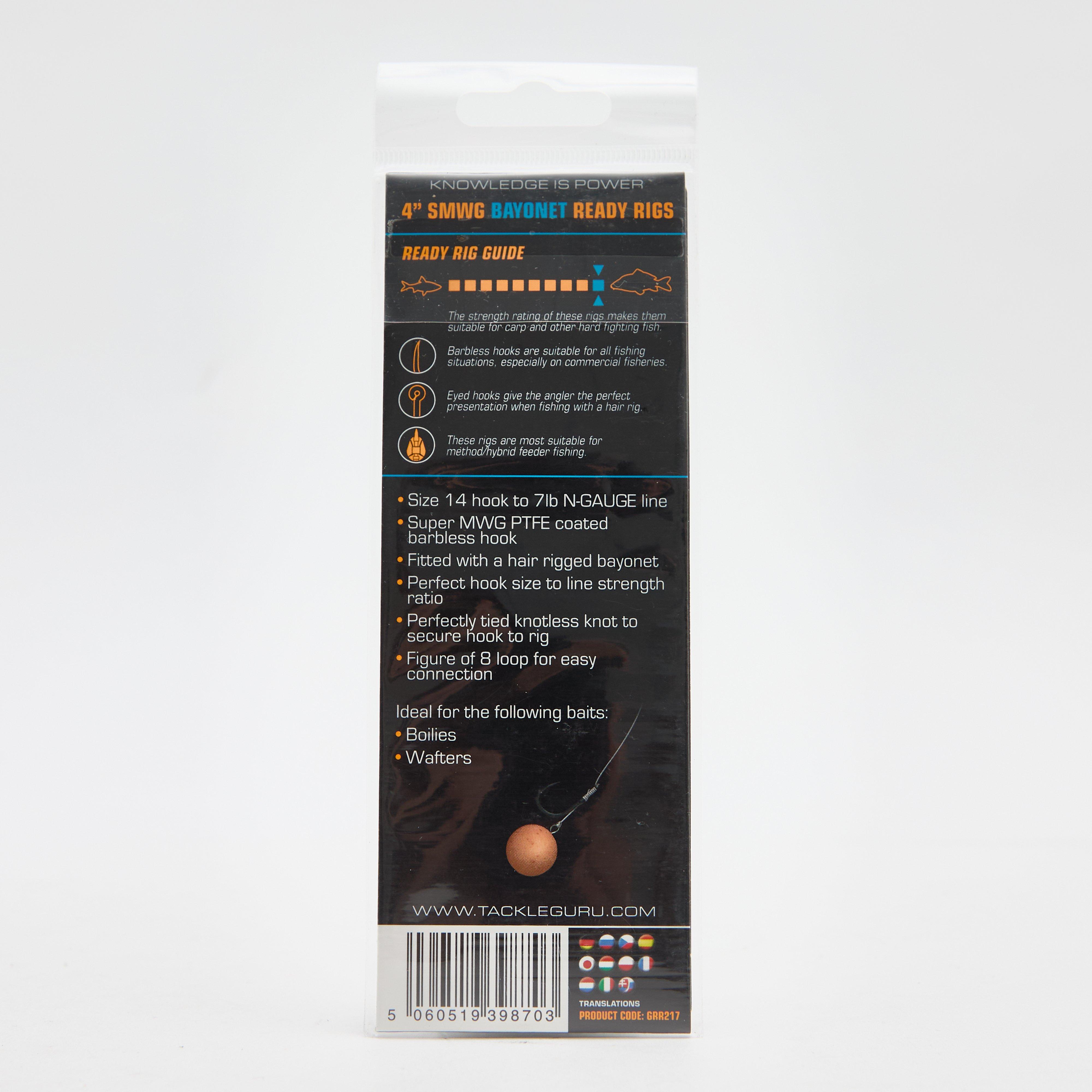
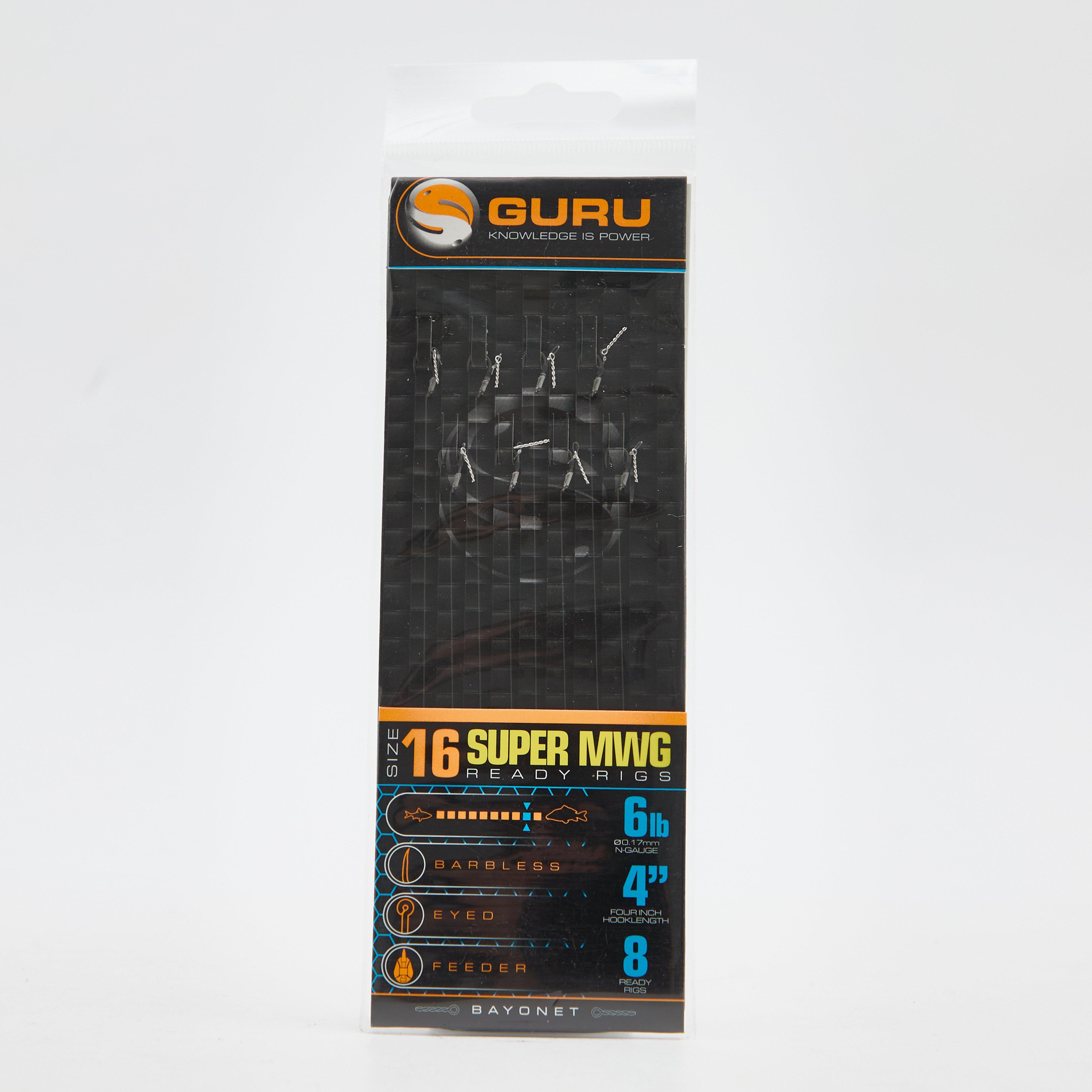
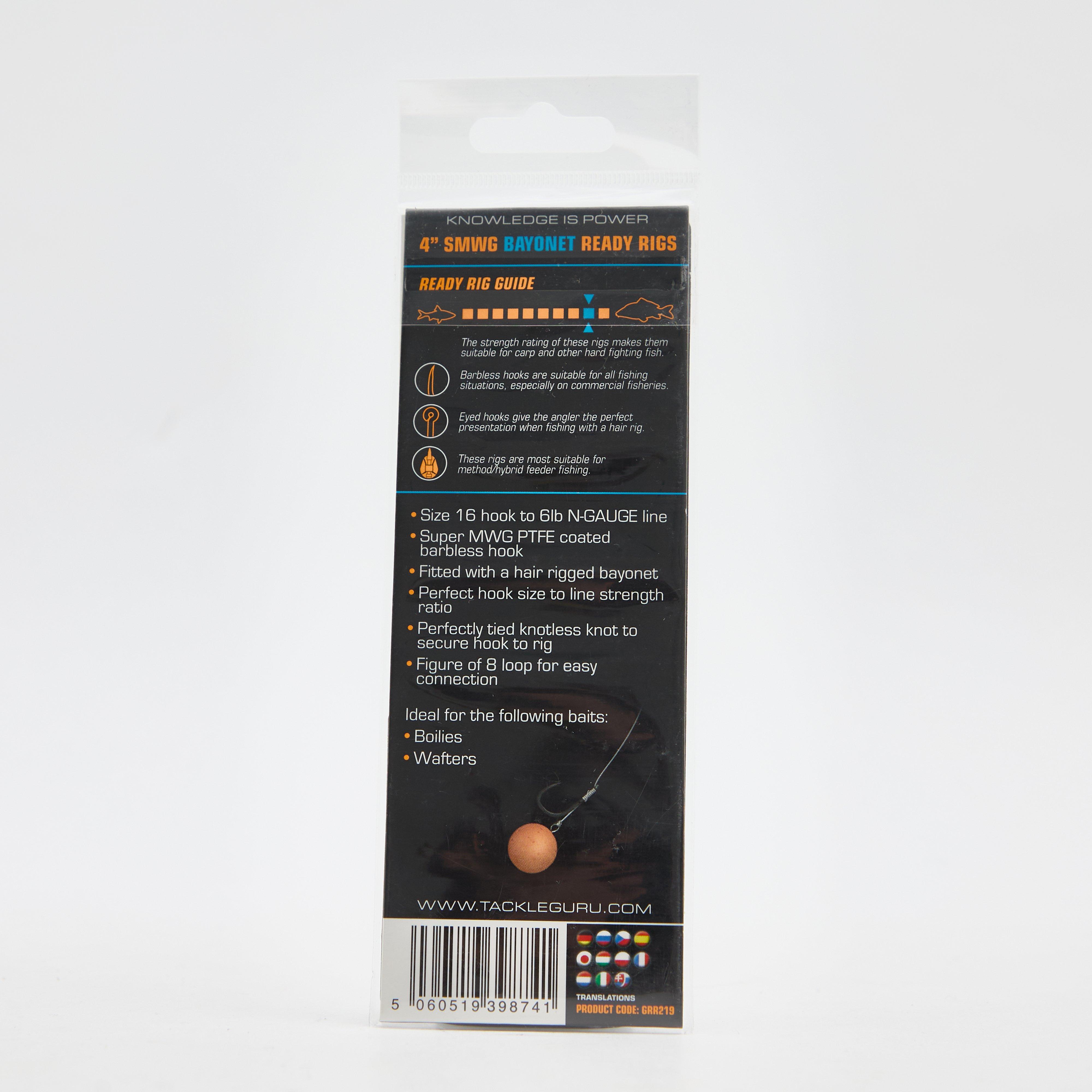
SMWG Standard Hair 4" Size 16
£ 3.75
£ 0.75

80%
OFF
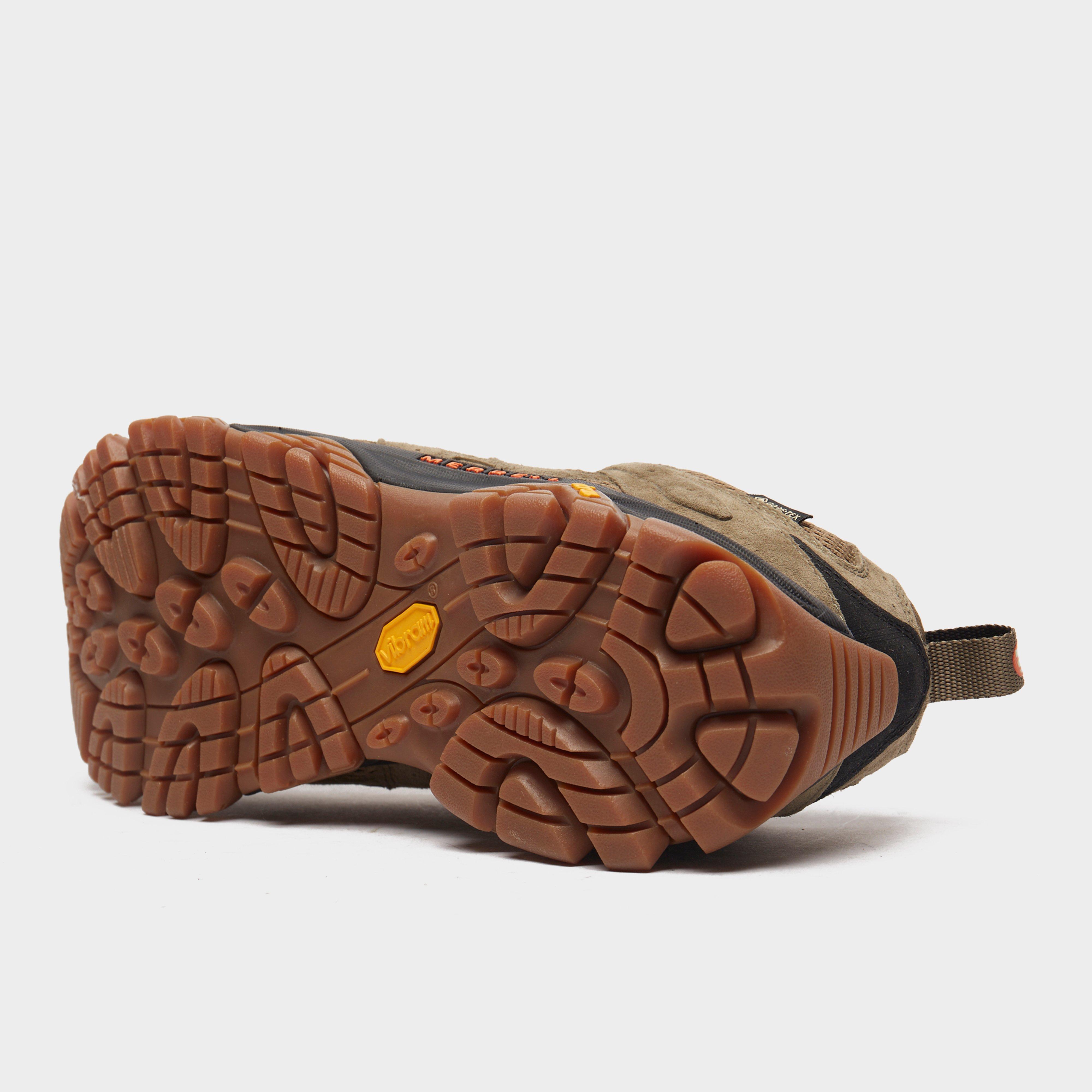
Men's MOAB 3 GORE-TEX® Walking Shoes
£ 126.00
£ 25.20

80%
OFF
Men’s Terra Pants
£ 65.00
£ 13.00


80%
OFF
FXT Crystal Pellet Waggler 8g
£ 2.95
£ 0.59
80%
OFF
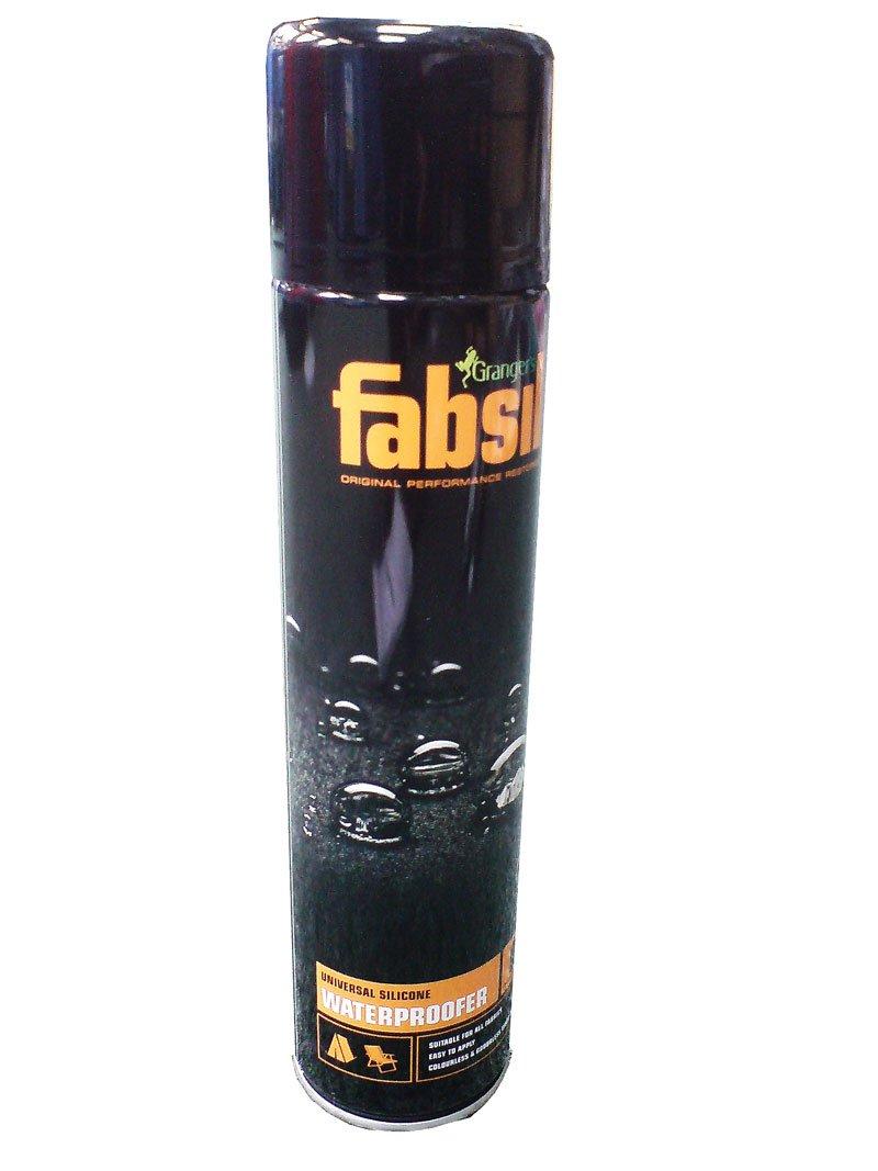
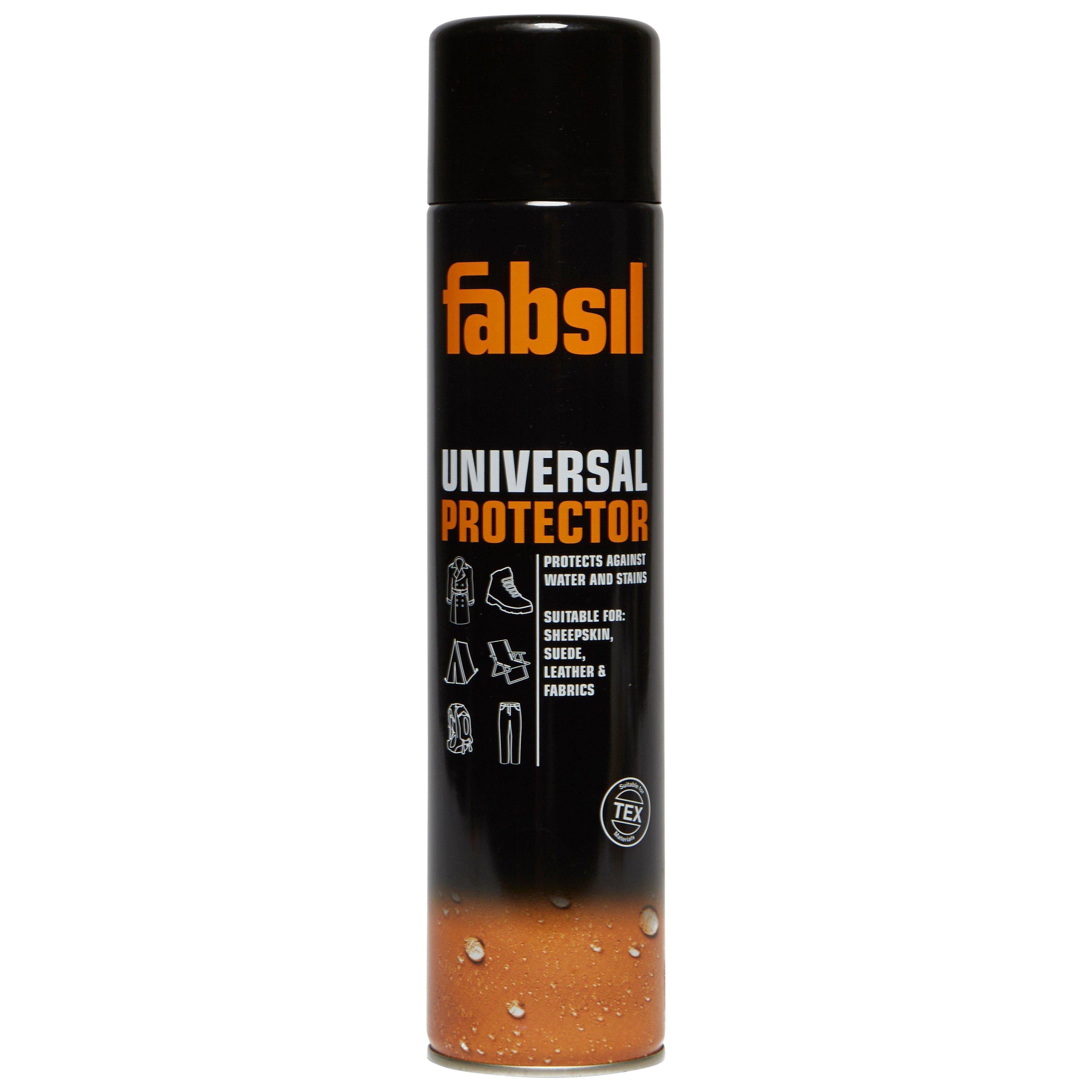
Fabsil Aerosol Proofer (600ml)
£ 10.00
£ 2.00


80%
OFF
FXT Crystal Pellet Waggler 6g
£ 2.95
£ 0.59

80%
OFF
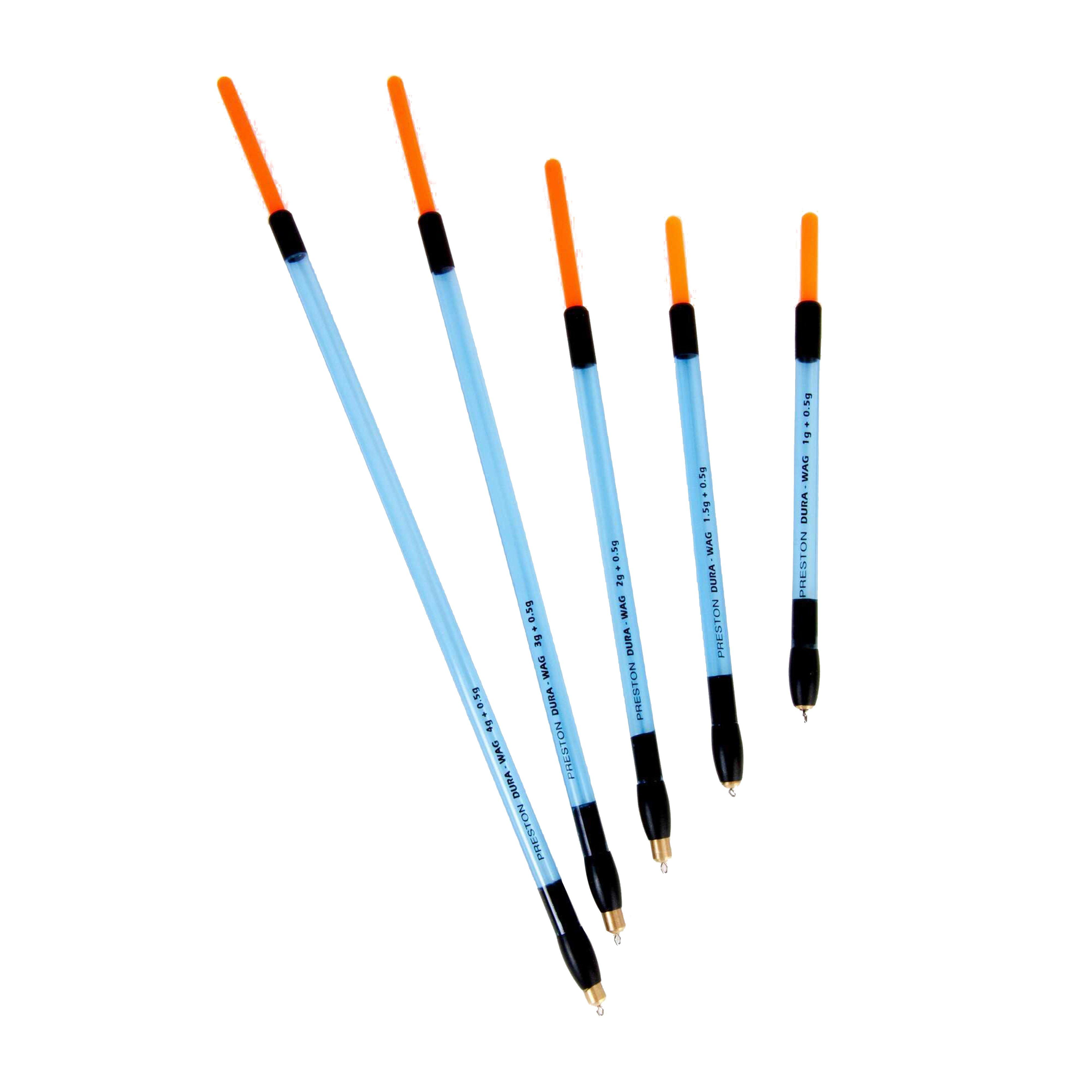
Insert Dura Straight Waggler 1+0.5g
£ 1.80
£ 0.36

80%
OFF
Insert Dura Straight Waggler 1.5+0.5g
£ 1.80
£ 0.36